Before we get into the details of the trip it is probably a good idea to provide some background to this whole escapade. At the time of departure I had been doing technical rock climbing for about a year and a half. I had climbed my first 14er less than a year before, and the first time I had put on crampons was in November 2013. My first 14er summit via a snow climbwas March 2014. I've at least been training pretty hard both technically and physically, and at the time of the climb I was leading WI-4, 5.10 rock on gear, and had built up a decent amount of stamina. I was feeling pretty good, but still a bit nervous. Peter, my partner is a little less technically inclined (he isn't quite as crazy as I am), but has a lot more big mountain experience, including trips to Nepal, South America, and a trip to Denali.
Peter and I met less than a year ago in November 2013 at a 14ers.com ice climbing meetup at Lincoln Falls near Breckenridge, Co. We ended up making several more ice climbing trips out to Ouray, Co and eventually started discussing plans for the summer. The first thing he brought up was Mt Hunter, which is also in the Alaska range, but more technically difficult than the West Buttress on Denali. However the third person in our party had to back out and we didn't feel comfortable doing it just the two of us. The next idea that was floating around was a trip that our friend Matt was organizing to climb three 7000m peaks in the former Soviet Union. Unfortunately for the two of us that trip was much longer than the amount of vacation we had saved up. So eventually talks turned back to Denali. Peter had made an attempt at the West Buttress the year before and didn't really want to do that route again. I agreed and thought that a more technical route would be more interesting. Neither of us felt like we were in any shape to attempt Cassin, so we settled on the West Rib.
There are several different ways to attack the West Rib. You can climb the West Butt to acclimatize and wait for a 3-4 day window to descend and climb the West Rib alpine style. You can climb the West Butt and only do the Upper West Rib. Or, you can climb double carry the West Rib, breaking up 100lbs of food and gear into multiple 50lb carries. Knowing how bad the weather is on Denali, and that if we summitted via the Buttress that we probably wouldn't feel like climbing the Rib, along with the fact that we are both masochistic idiots, we decided to get on the Rib as quickly as possible and double carry the whole damn thing.
Timeline
Day 1: Anchorage to Camp 1 (7,800')
Day 2: Storm Day
Day 3: Camp 1 (7,800') to Camp 2 (11,200') with a cache at 9,400'
Day 4: Storm Day
Day 5: Back carry cache through icefall from 9,400' to 11,200'
Day 6: Carried the cache to the top of the Chicken Couloir, 11,200' to 12,300'
Day 7: Really Nasty Storm Day
Day 8: Storm Day - 2' of new snow
Day 9: Rest Day (Nice weather but forecast to be bad, bad avy danger)
Day 10: Camp 2 (11,200') to Camp 3 (13,200')
Day 11: Back carry cache 12,300' to 13,200'
Day 12: Carry cache to 14,800'
Day 13: Storm day, 1' of fresh snow in the morning decent later that day.
Day 14: Camp 3 (13,200') to Camp 4 (16,000')
Day 15: Camp 4 (16,000') to Camp 5 (15,500' on the WB-WR crossover), back carry cache 14,800' -> 15,700' -> 15,500'
Day 16: Camp 5 (15,500') to 14,200' Camp on the West Buttress.
Day 17: Rest / Storm Day
Day 18: Storm Day
Day 19: Storm Day
Day 20: Summit Attempt from 14,200', made it to 17,200'. Move camp from 14,200' to 11,200'
Day 21: Move camp 11,200' to Basecamp (7,200')
Day 22: Fly back to Talkeetna
GPS Tracks
Day 1 - Anchorage to Camp 1 (7,800')
Peter and I both landed in Anchorage around 12:30am on Saturday May 24th. We had our bags by about 1 :00 and grabbed a taxi to take us to our hotel. Enter our first screw-up, we soon learned that there were two Extended Stay America hotels in Anchorage and we just happened to hop a cab to the wrong one (Oops). The hotel manager arranged a cab for us to the other location and we finally got to bed around 2am. Less than 6 hours later our alarms went off and we quickly took a last shower before heading out to meet the "Go Purple Shuttle" van that was scheduled to pick us up at 8am.Well as it turns out we weren't the only ones to go to the wrong hotel location.... The van finally showed up around 9am and we were off to Talkeetna! We had three shuttle mates, two were planning on climbing Cassin, and the third was attempting to summit in a week. They were all pretty experienced climbers who had done several peaks in the Himalaya so the three hour drive passed fairly quickly with the recounting of everyone's favorite mountaineering exploits.
The van dropped us off at the Sheldon Air Service (SAS) hanger around noon and we quickly set about getting our bags ready for the flight to the glacier. We had everything ready in about an hour and snagged a ride from one of the guys at Sheldon over to the national park service office to pick up some paperwork, undergo a briefing, and get our Clean Mountain Can (CMC). We headed back over to Sheldon, changed into our glacier clothes, and were ready to fly by about 5pm.
 |
| Loading up! |
 |
| Coming into base camp. |
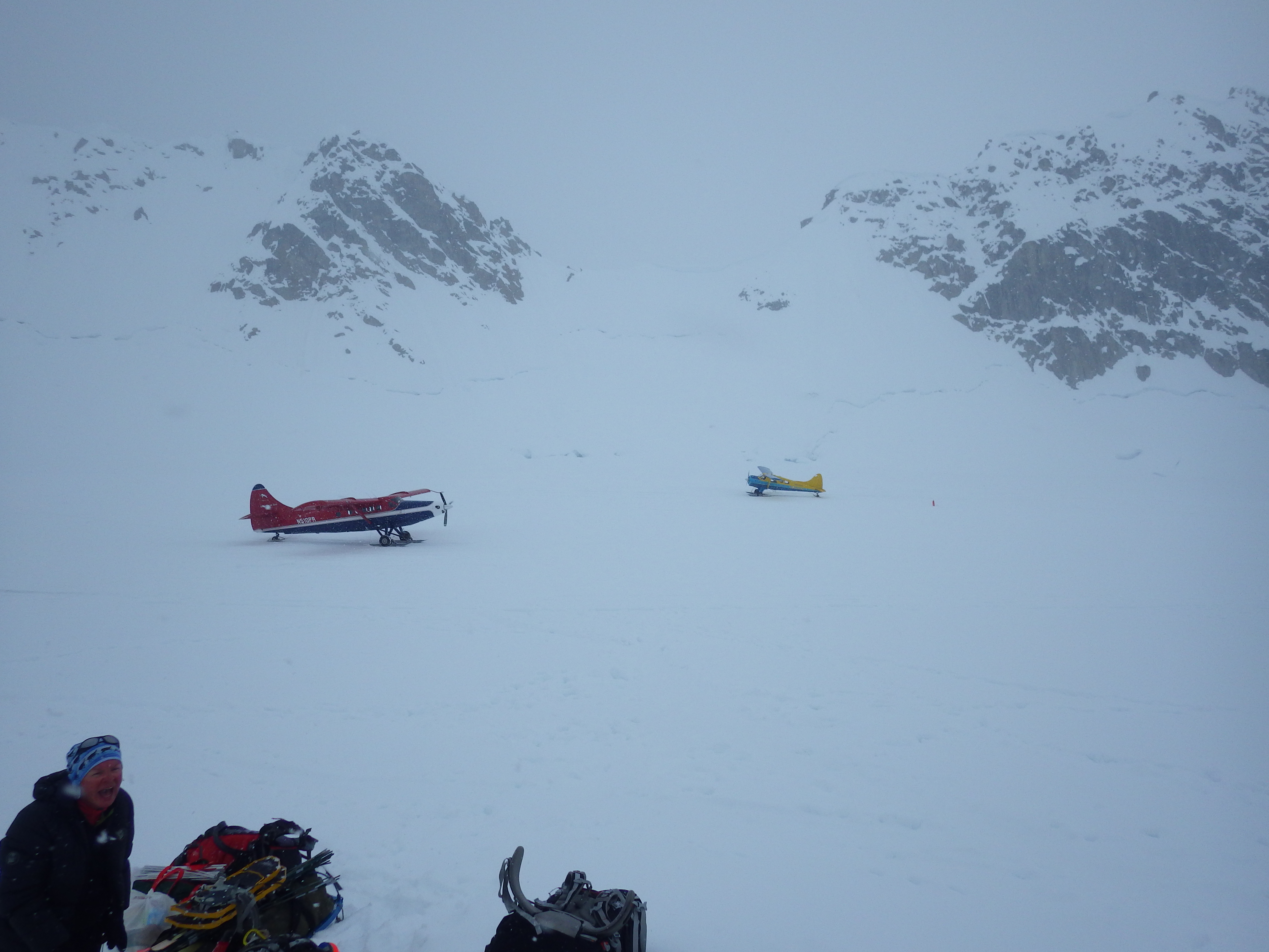
The flight took about 45 minutes and the views were absolutely stunning. Once on the ground our energy levels were running high, the weather was good, and so we decided to make the 5-mile slog from basecamp (7200') to Camp 1 (7,800') aka "ski hill".
 | |
|
Day 2 - Storm Day at Camp 1 (7,800')
Well when we woke up Sunday morning the weather was basically crap. Visibility was basically nil so we decided to stick around camp 1 and see if things improved on Monday. We knew that a low pressure system was moving in so if we didn't make it up the NE fork in the next day or two we would basically be screwed. We knew that a Japanese team and a Ukrainian team had gone up the NE fork a few days earlier so we were hoping to just follow their tracks and avoid a lot of the pain involved in finding a route through the icefall. We were also worried that the fresh snow would significantly increase the risk of avalanches in the NE fork. By the end of the day on Sunday we had concluded that if conditions were still bad on Monday morning we would scrap our West Rib plans and head up the Buttress.
Day 3 - Into the Valley of Death: Camp 1 (7,800') to Camp 2 (11,200')
We woke up early Monday morning to a beautiful sky. Peter and I were both super stoked, we could still see tracks leading into the NE fork and got super excited. We broke down camp, dug a cache pit, and set off into the Valley of Death!
 | |
|
 |
| Entering the NE Fork of the Kahiltna. |
 |
| The first crevasse field. |
 | |
|
When we got to the Japanese camp it had already been packed up and they had obviously moved up and through the icefall. This gave us hope that we would be able to make it up to Camp 2 at 11,200' that day and be relatively "safe". We were however done with pulling the sleds. Our backs were aching and the next stretch of terrain was no place for a sled. After quick cache pit was dug and our duffels buried we pressed on into the icefall. During the short amount of time that we were stopped we heard at least 3-4 avalanches and saw one big one that stopped maybe a couple hundred yards away!
 |
| One of the seracs above the valley. We watched a fairly substantial avalanche come off of this thing while we were setting up our cache. |
 |
| Looking up towards the icefall. |
The first challenge was a roughly 60-degree snow and ice slope. (We later found a way to avoid this on our back-carry). Peter bravely led through this section and soon we were moving into a heavily crevassed hallway with large blocks of ice on our right. This hallway ended in a headwall with a 2-foot wide crevasse running along the base. To continue we had to place our tool on the headwall and kind of jump across the crevasse onto the headwall. Once firmly on the headwall you climb up about 10' and traverse right. Eventually there is a point at which you can crawl out and flop onto a nice level surface.
 | |
|
 |
| Approaching the crux of the icefall. |
 | |
|
After the crux we were basically sitting under heavy avalanche terrain. Looking above our position and further down the trail we could see significant evidence of recent avalanche activity coming off of several large seracs that loomed over our path. Peter was determined to move as quickly as possible through these objective hazards and while he was pushing fast and we were both dealing with the imminent threat to our mortality I was also dealing with the fact that my pack and harness were pushing my pants down making it a bit difficult to walk.... We managed to reach a location between seracs where I could quickly fix my pants and continue to safety. Fortunately this was all relatively flat terrain and we were able to move quickly through the danger zone.
Day 4 - Storm Day
Well day 4 basically sucked. The visibility was pretty terrible and we could hear nearly constant avalanches. On top of that we were pretty exhausted from the previous day so we decided to just stick out the weather in the tent and relax. I listened to an audiobook and played some Ocarina of Time on my cell phone via an emulator while trying to ignore the sounds of rockfall coming off of the buttress a mere 50' from our tent.
Day 5 - Back carry from 9,500' to 11,200'
This was the day I decided to start keeping a log on my phone, it didn't last long, but the next we days worth of posts are kinda cool:
Denali Day 5. Well done with the valley of death today. Fell in a giant fucking crevasse when a snow bridge gave out. All that was sticking out was my head, an arm, and an ice axe. Still managed to extract myself and keep moving to retrieve our cache at 9.5k. After snagging the cash we headed back up the ice fall to our camp at 11.2k. We watched several small avalanches fall down near our route and ended up booking it hard under a huge ass serac that we dubbed "Coach" because he sitting there screaming at you to move your fat ass. Took us about 7.5 hours for the down and back, including crevasse fall and trying to retrace or snow covered steps.
Now just hanging out napping and listening to an audiobook. Weather is supposed to be bad tomorrow so we'll probably just chill all day. Hopefully we can find a way around the bergschrund at the base of the chicken couloir and start making our way onto the rib proper. Also dam I'm starting to get stinky.
 |
| Weather was kinda crappy during the back carry. |
Day 6 - Carry to the top of the Chicken Couloir (11,200' to 12,500')
Denali Day 6: Carried the cache up the chicken couloir in less than ideal weather. Took about 5 hours to go from 11.2k to 12.5k. The couloir was icy and rough, with lots of spindrift avalanches coming down the right side. We attempted to rap with a 65m rope and a tag line but the tagline kept getting stuck and that quickly failed. A couple of times peter heroically climbed up to un stick the rope and down climb on belay. So we single rope rapped most of it which was a massive pain. After putting in like 8 vthreads and literally freezing my ass off we got to a point that was easily down climbable. This bottom 400' or so we simul-down climbed. After finally getting off the route at 2 am I looked down to notice the pick of my ice axe dangling by the insulation duct taped to the shaft. Fucking shit... Looks like I'll be climbing down a front point and an axe...
Now we get to wait out the weather for a few days
 |
| Me leading up across the bergshrund at the base of the Chicken Couloir. I was pretty scared to be honest. |
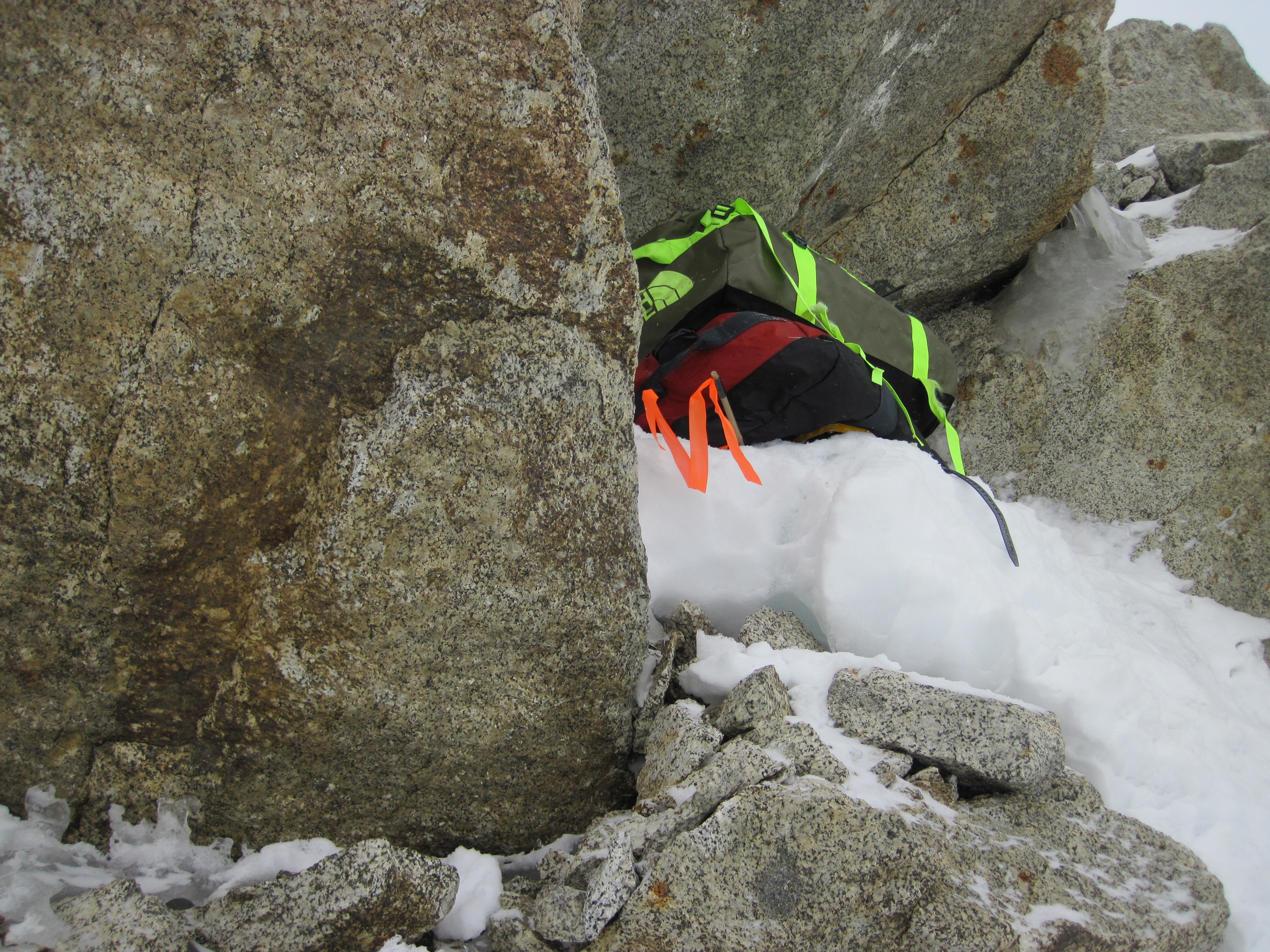 |
| Our cache at 12,500' at the top of the Chicken Couloir. |
 |
| Attempting to rappel back down the Chicken Couloir. Our tag line system failed horribly |
Days 7-9 - More Bad Weather
Denali Day 7 & 8:
Storm days at 11.2k. Slept all day Friday despite high winds and lots of blowing snow. Saturday we got about 1-2 feet of snow and needed to go outside to clear the tent. We are a little worried that the slope above us might slide and kill us so we have been digging a trench in what we would hope is the slide path. Other than that we have heard lots of avalanches and rock fall throughout the valley of death. I've also been sitting here watching spindrift avalanches come down the rocks about 100' from the door of our tent.
On a positive note I managed to semi-repair my sum'tec ice axe by lashing the pick back on with some 5 mm cord. Hopefully it will work well enough in snow. I'm hoping we can move camp up to 14.8k tomorrow but with all this snow the chicken couloir will probably be far to dangerous.
Denali Day 9:
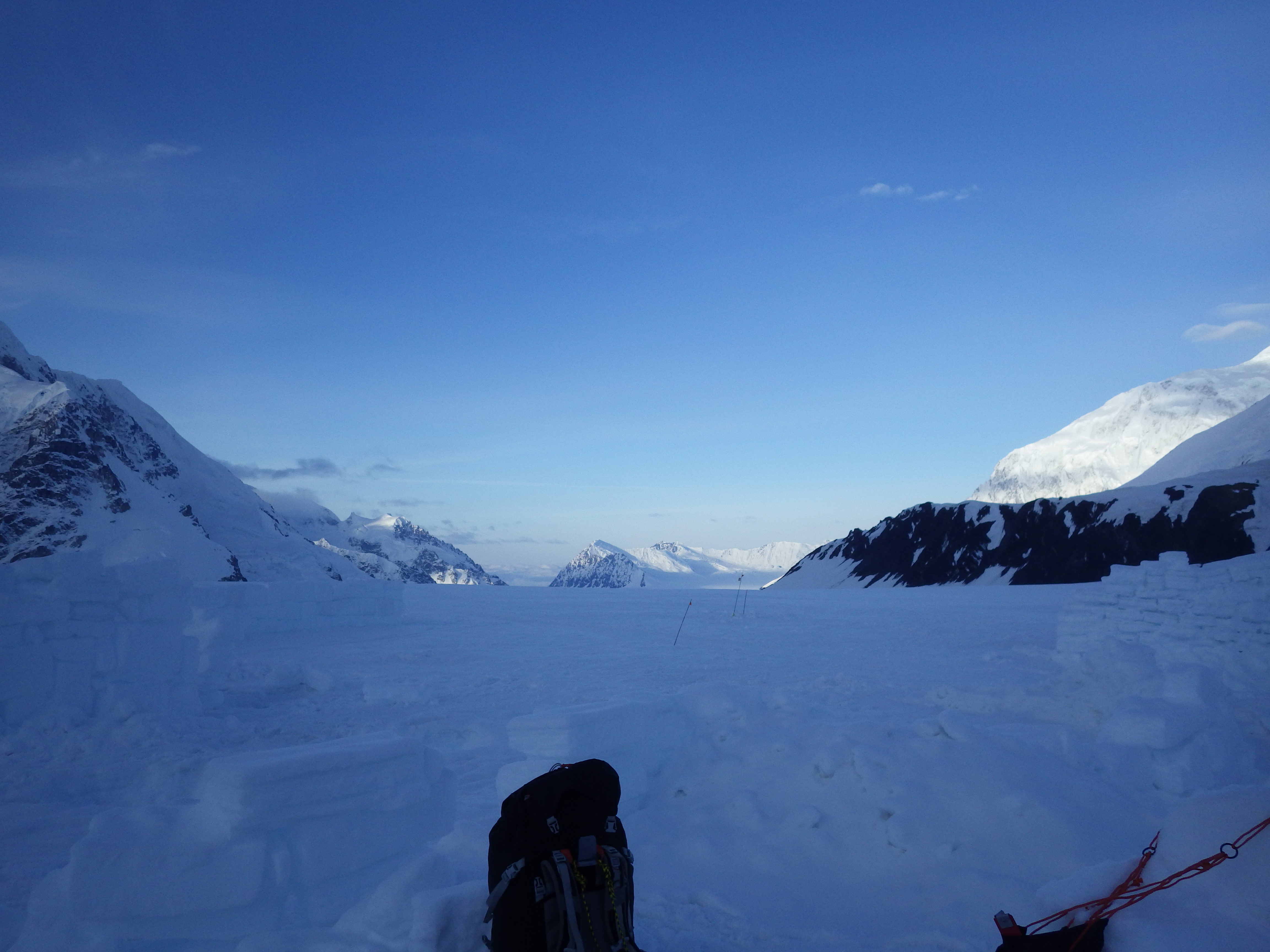
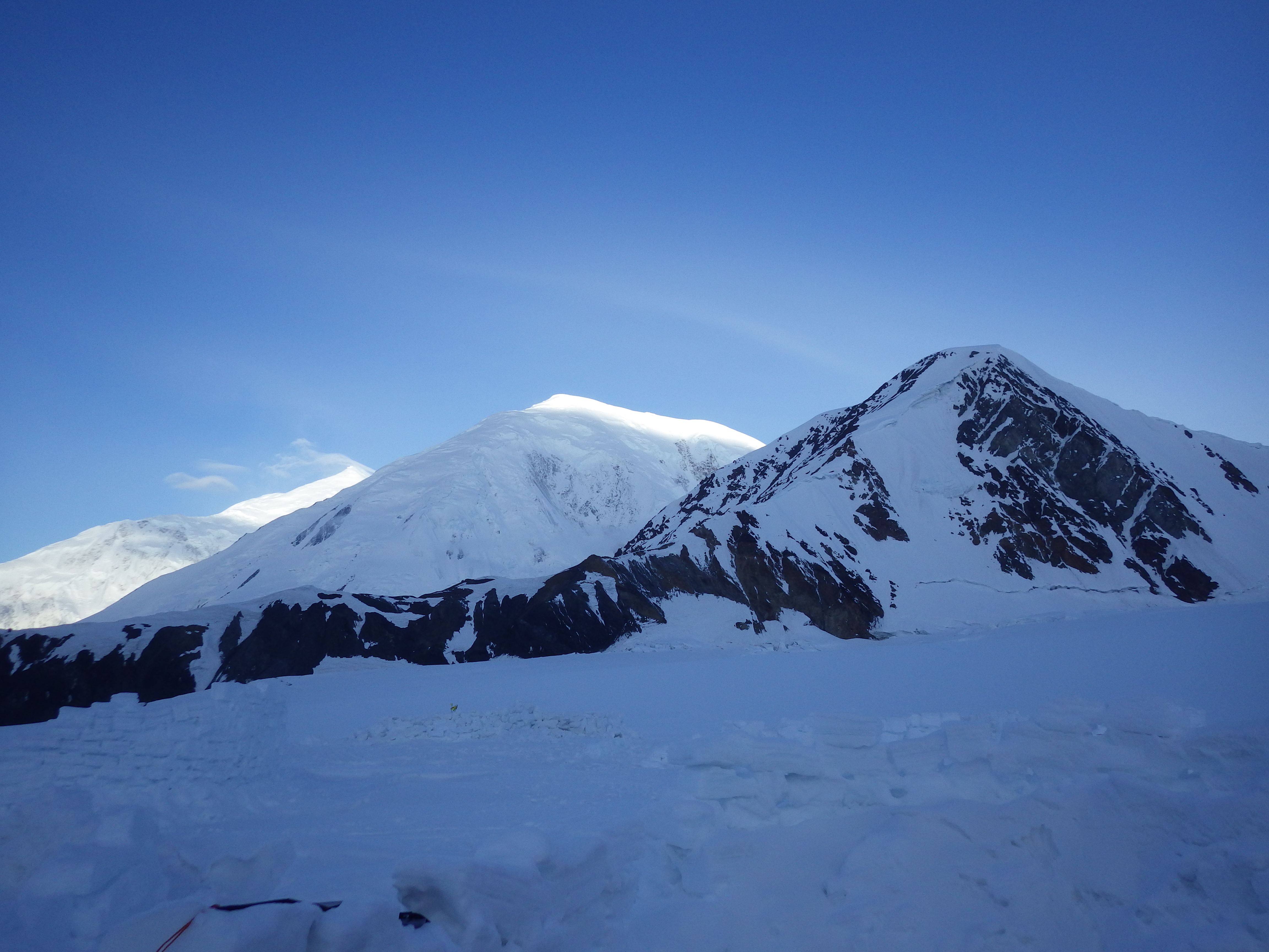
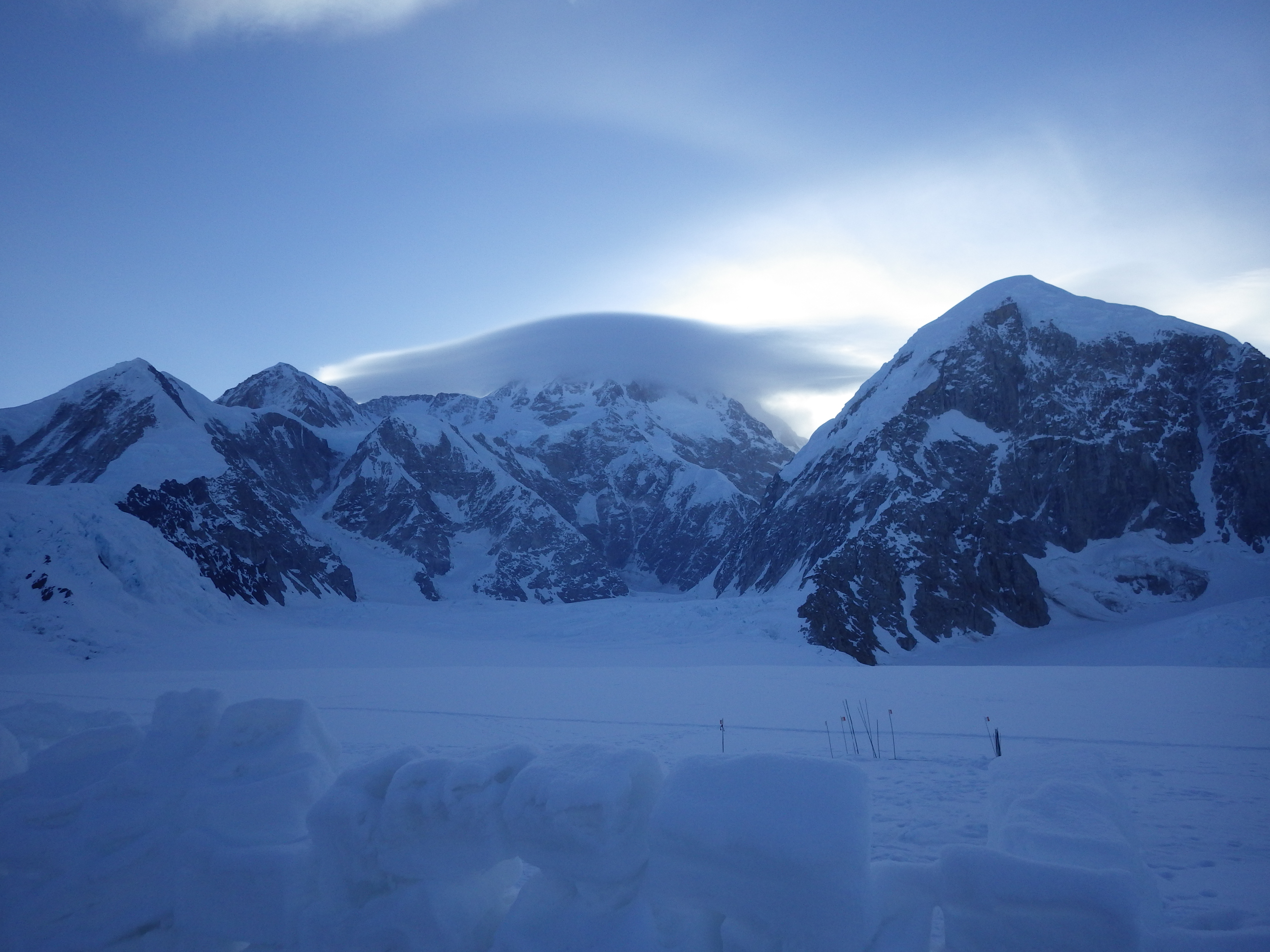
We were unsure about the weather, but turned out to be a beautiful day. Ended up hanging around camp all day and watching the clouds go by.
I essentially spent all day on Day 9 sitting outside taking pictures and just enjoying the weather and majesty of the mountain. We got some pretty good pictures that day.
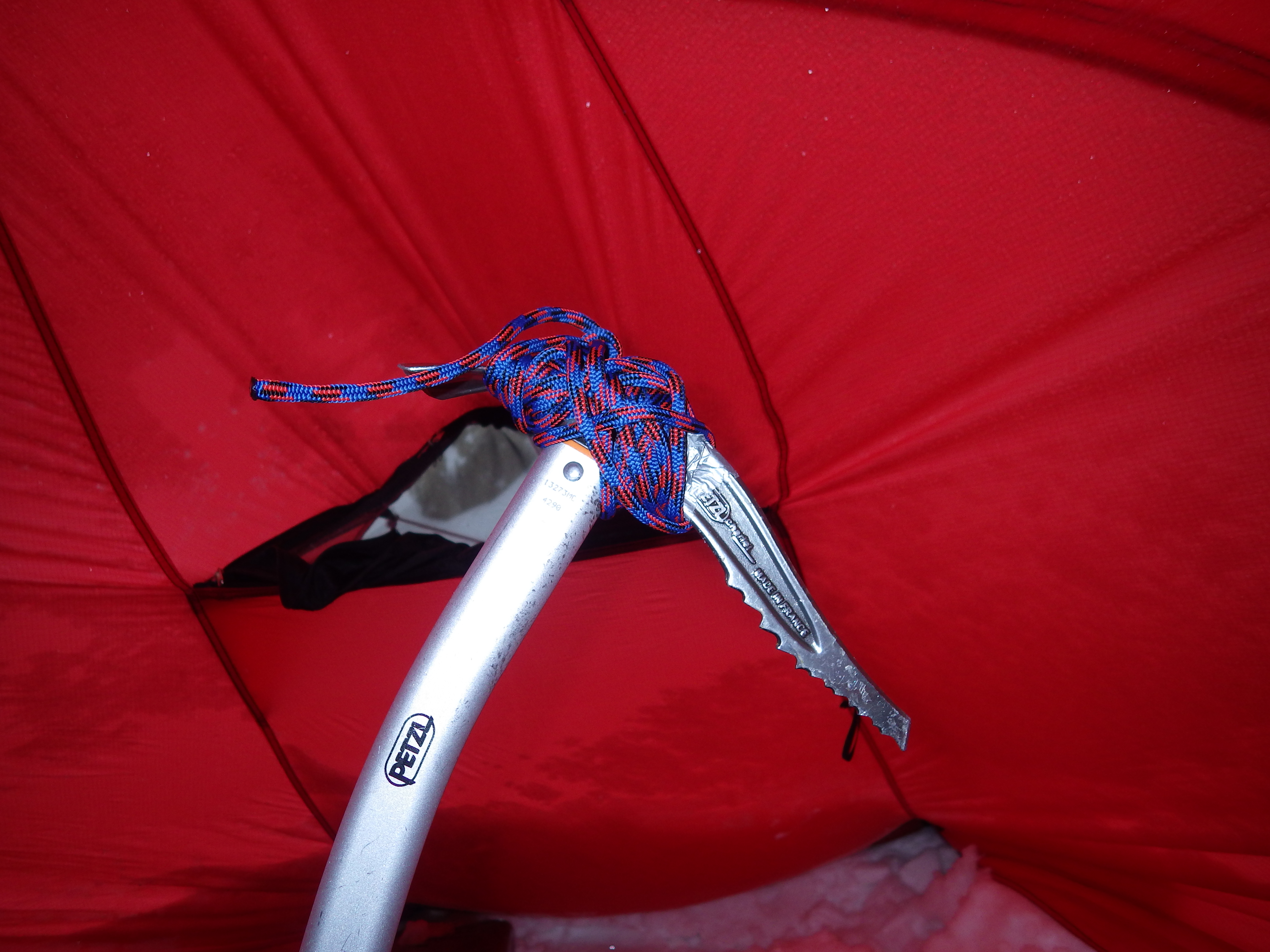 |
| I think this will work??? (Pick is held on by nothing but 5mm cord) |
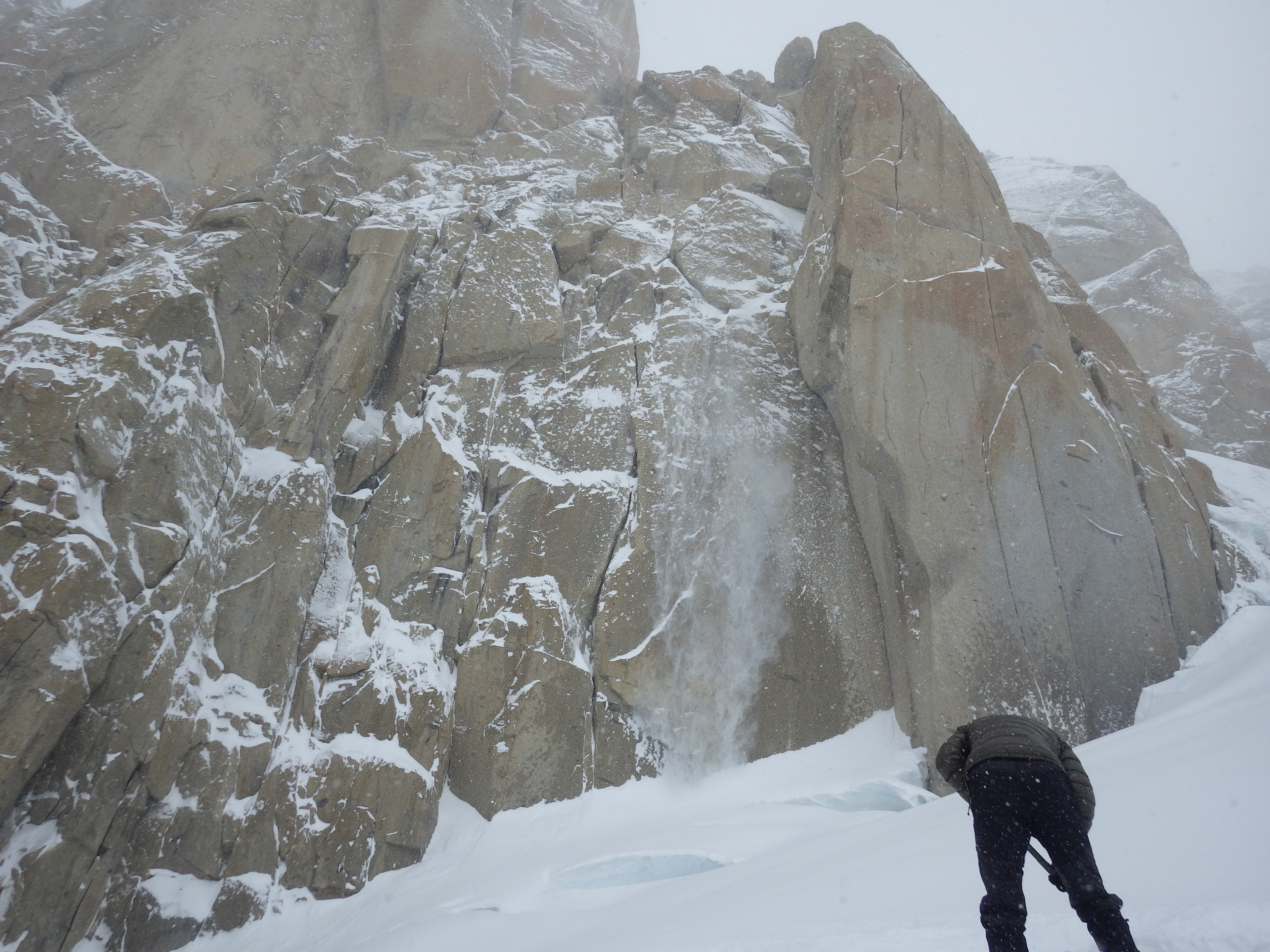 |
| Spindrift coming down off of the rock buttress. |
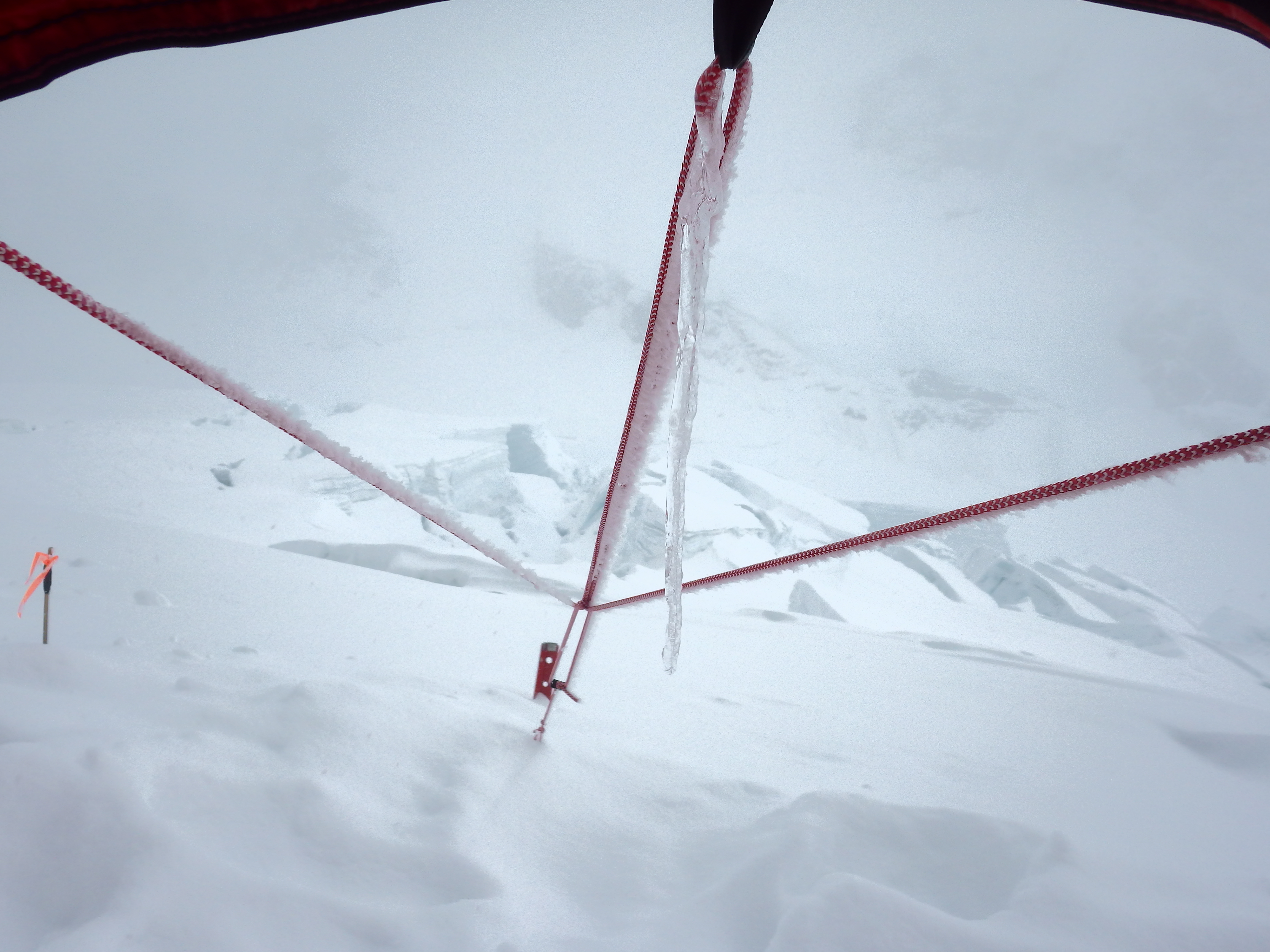 |
| Lots of snow! |
Day 10 - Camp 2 to Camp 3 (11,200' to 13,400')
Denali Day 10:
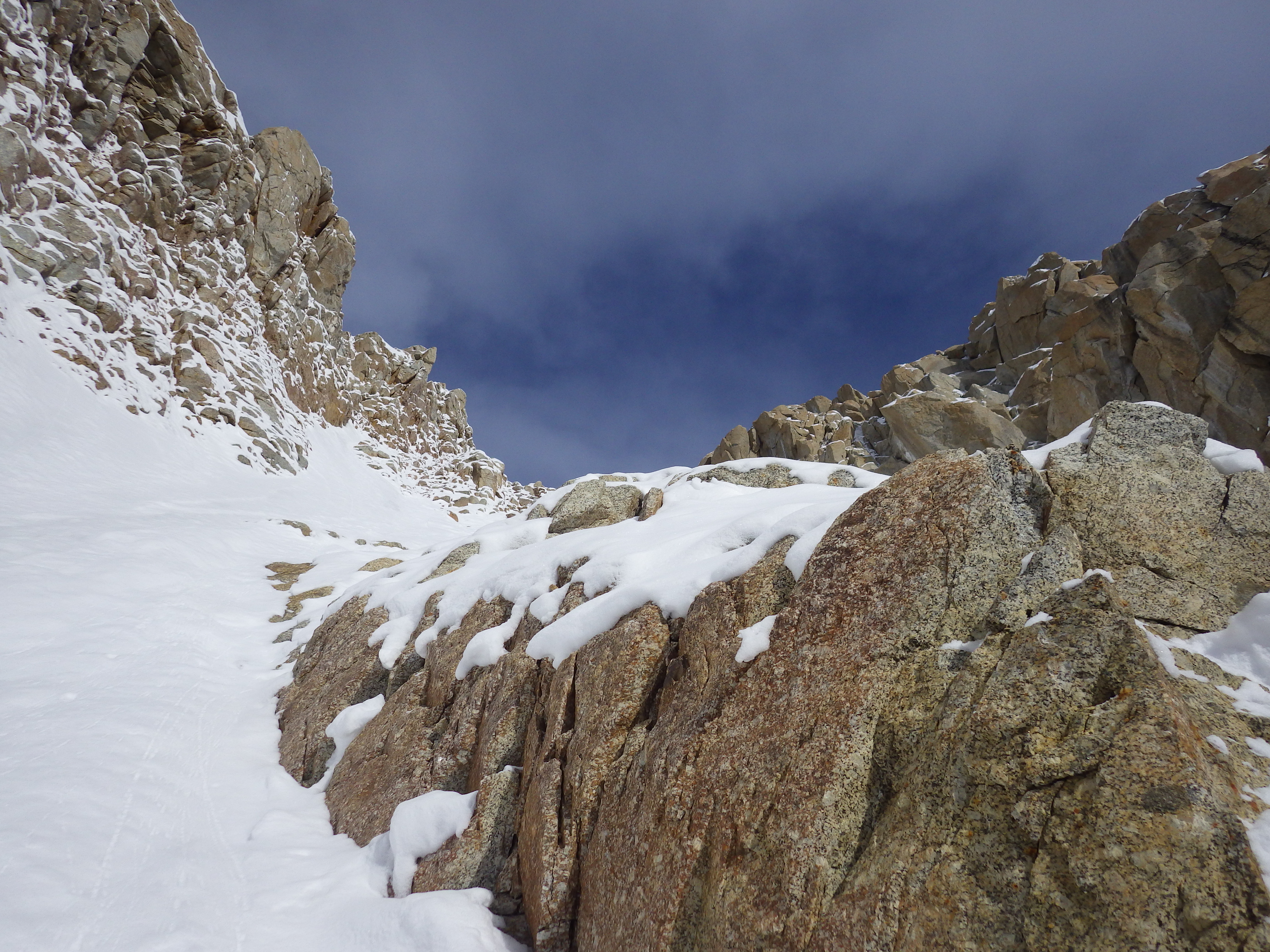
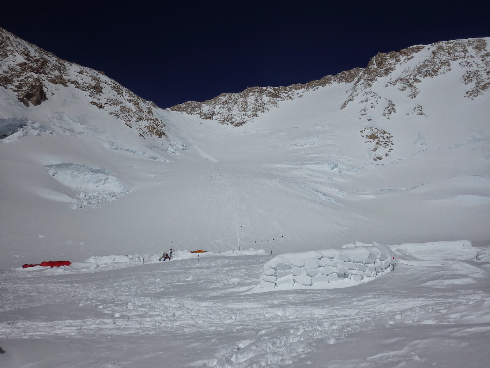
Moved camp today from 11.2k to 13.4k. This involved most of the technical climbing on the trip. The chicken couloir was a completely different climb from the other day and we cruised right up it. The next 1000' were the two ice domes, which were solid bunks of ice. If I wasn't hauling 50 lbs of gear and had not just done 1200' of climbing they would have been a blast. But with only 5 ice screws and hard alpine ice 2 they were a major pain. On top of that we had a major scare moving up the second ice dome when a large wind slab directly above us was settling, cracking, and making a crevasse yawn wider.
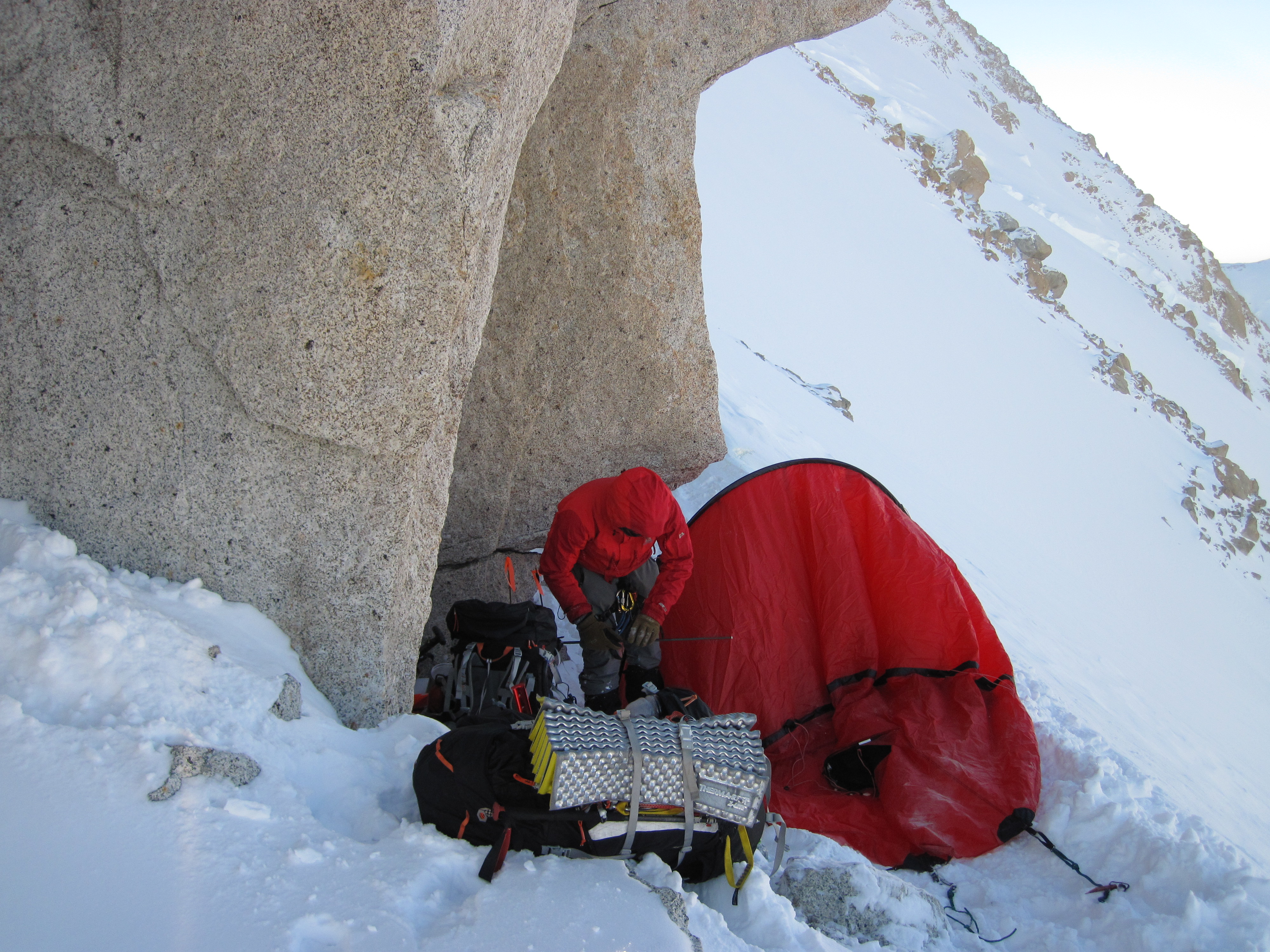
Upon completing the second ice dome we found a very nice wide flat area to dig in a camp. After a couple of hours of sawing, digging, and building walls we had ourselves a nice hole that should be able to survive all but the worst of storms.
The Chicken Couloir
 |
| Looking back down the NE Fork. |
 |
| Looking up at the First and Second Ice domes. |
 |
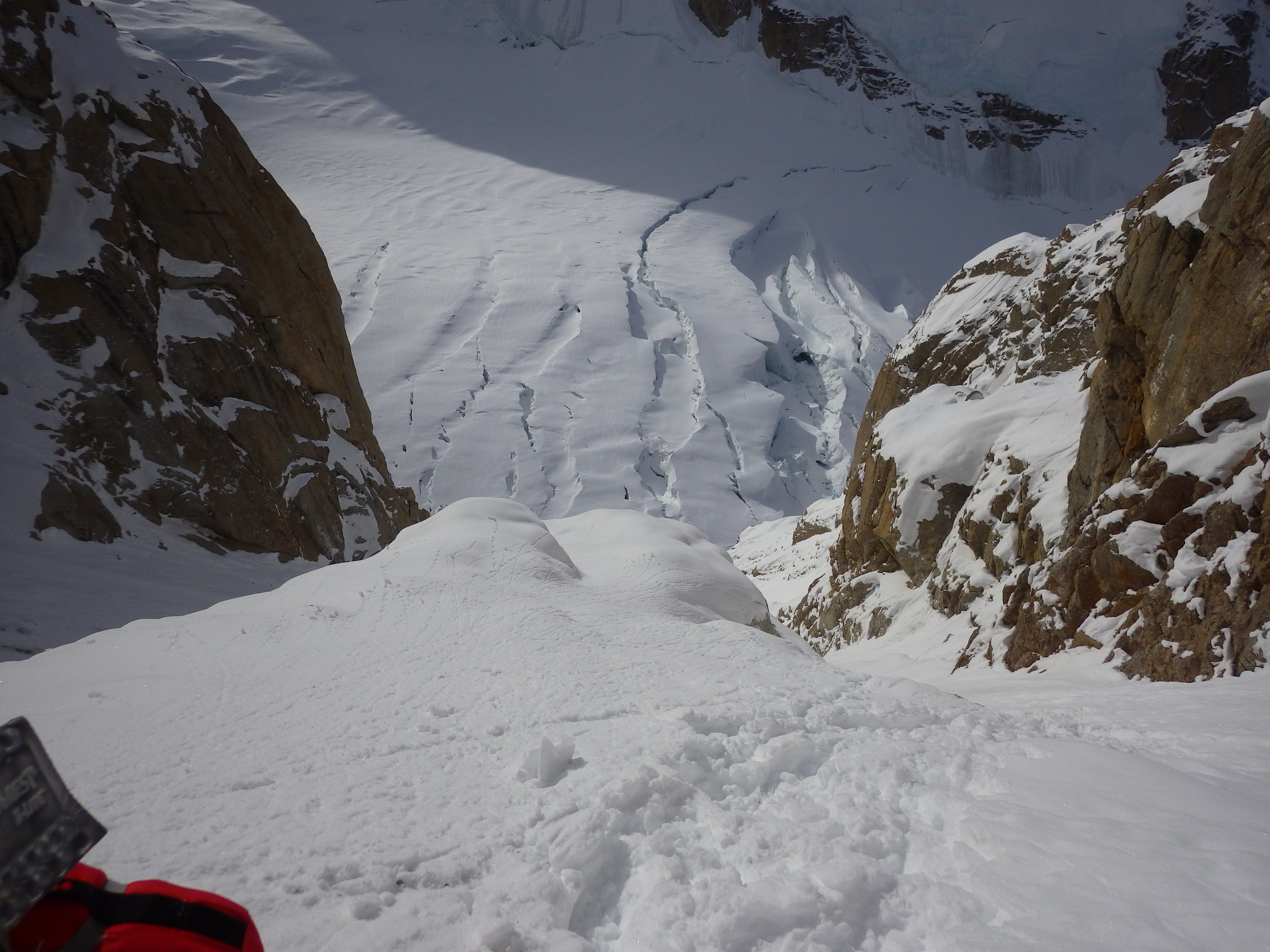
| Looking back down the first ice dome towards the icefall in the NE Fork. Yup we went through that mess down there. |
 |
| Me headed up the second ice dome. |
 |
| Me following up the second ice dome just below the massive wind slab. |
 |
| I really wish I had done this pano intentionally. |
 |
| Finally, a decent flat spot to setup camp. |
Day 11 - Retrieve Cache from 12,500'
 |
| Sunrise from behind Denali. |
 |
| Me coming down the second ice dome. |
 |
| Me climbing back up the first ice dome after retrieving half the cache. |
 |
| Hanging out back at camp. |
Day 12 - Push cache to 14,800'
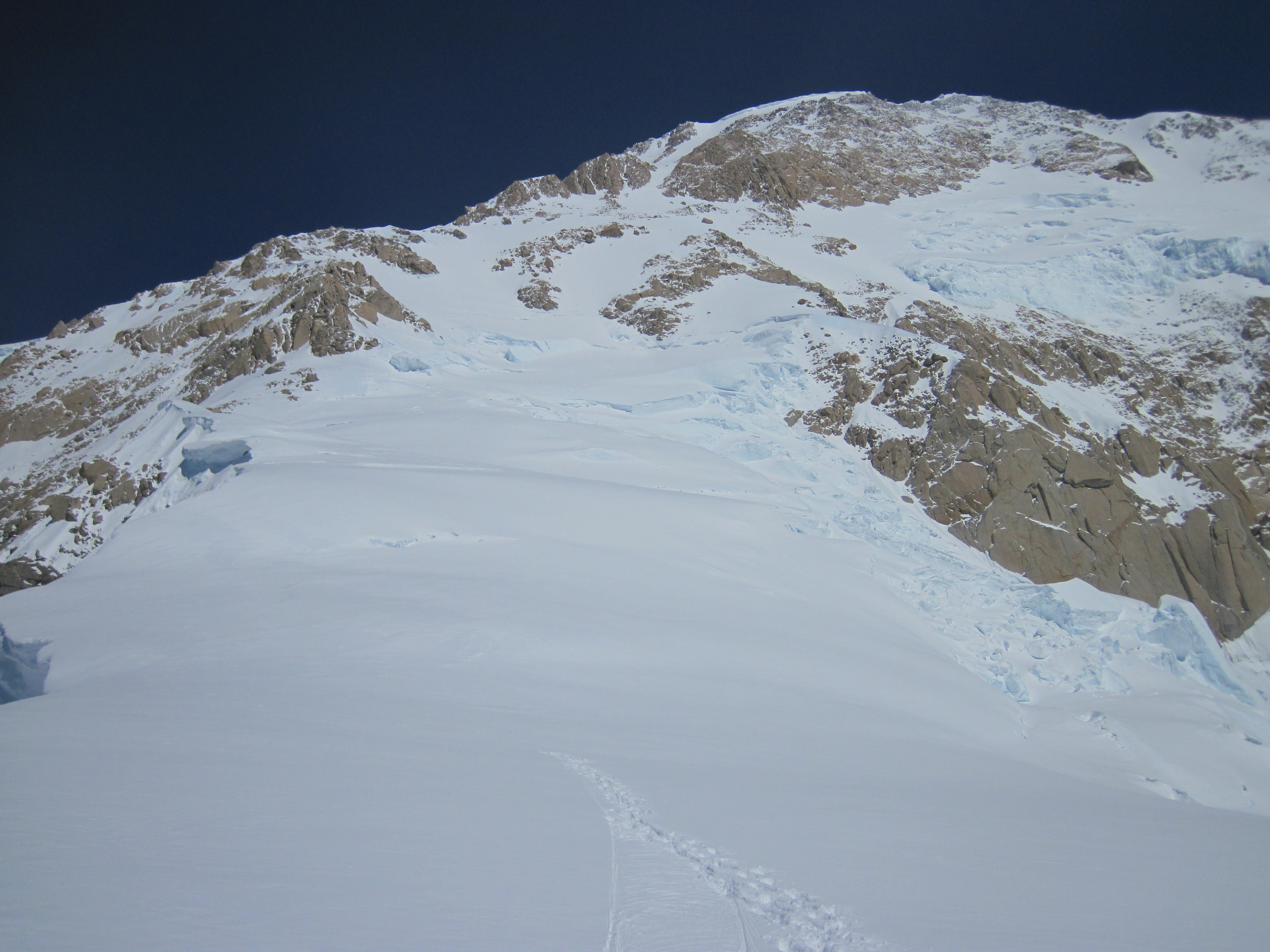 |
| Looking up at our next step. We decided to cache in a small bergshrund about 2/3rds the way up. |
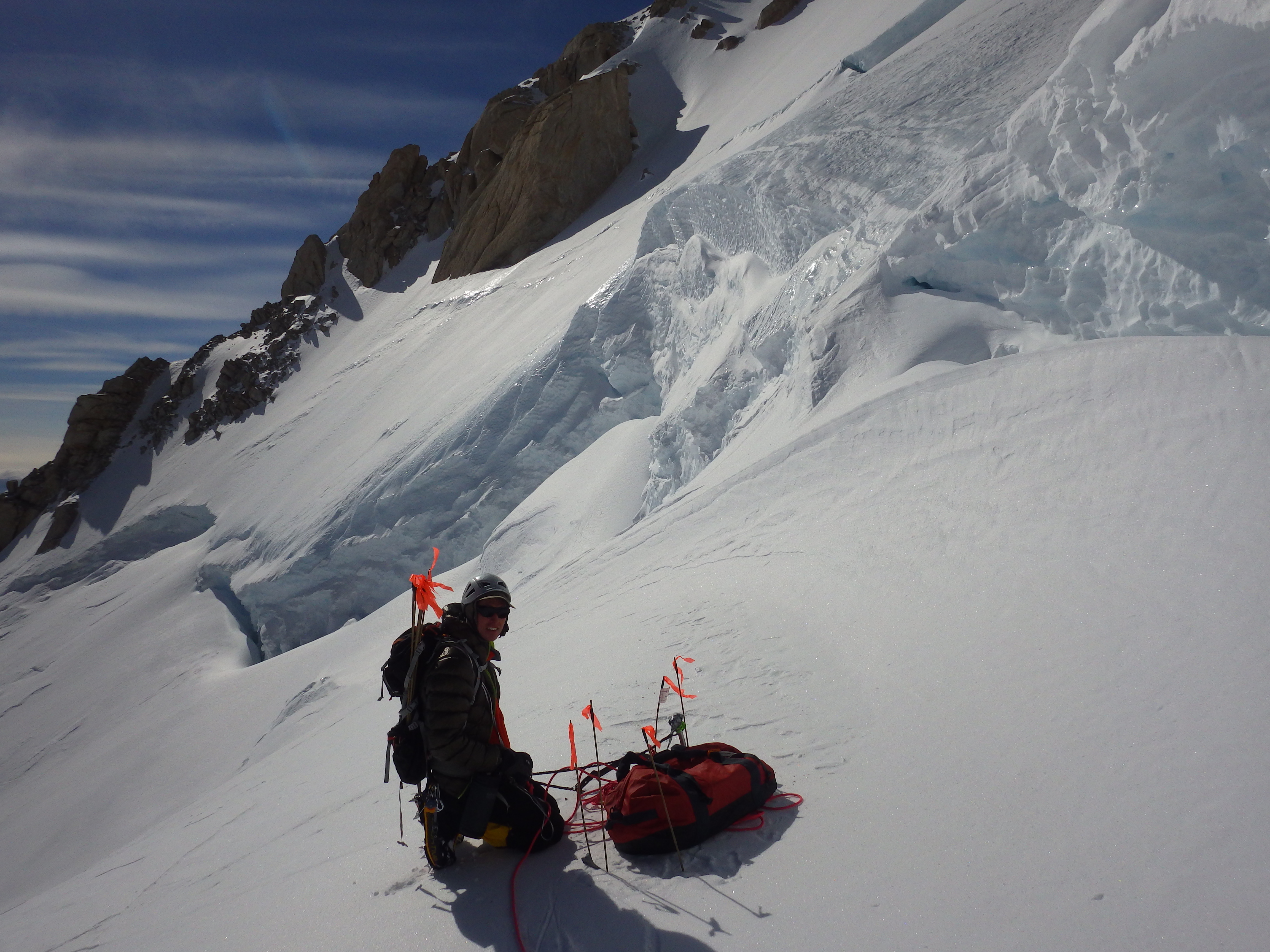 |
| Peter setting up his cache at 14,900' |
 |
| Me setting up my cache. Also this was a new height record for me!!!! |
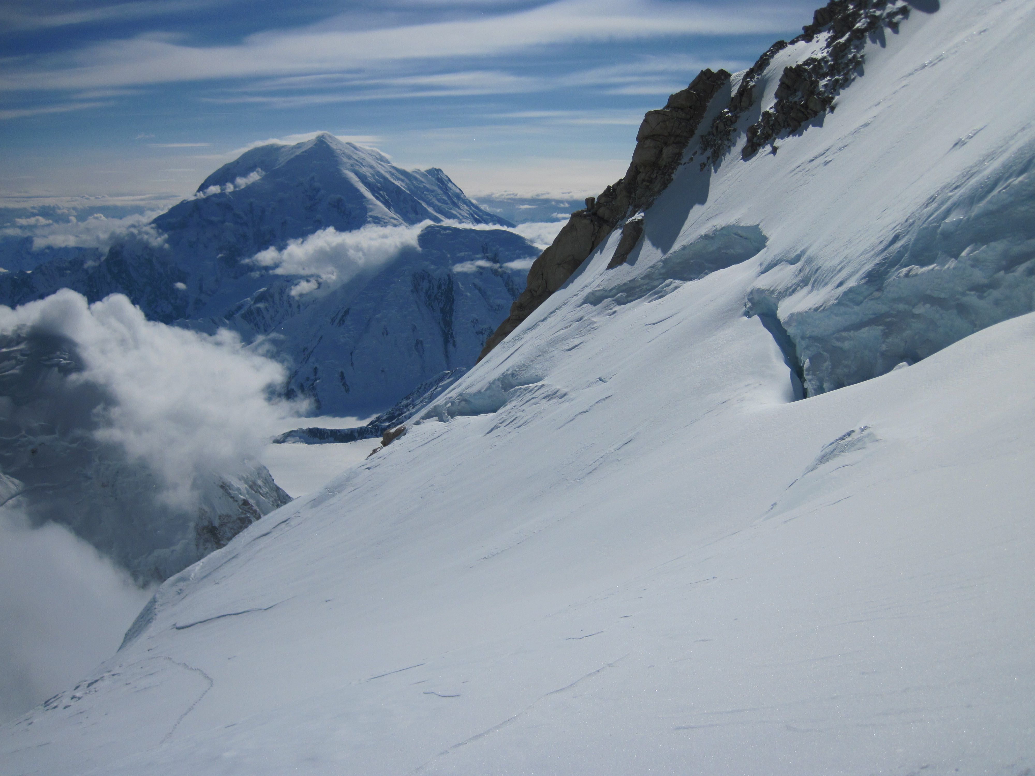 |
| Sweet view of Foraker. |
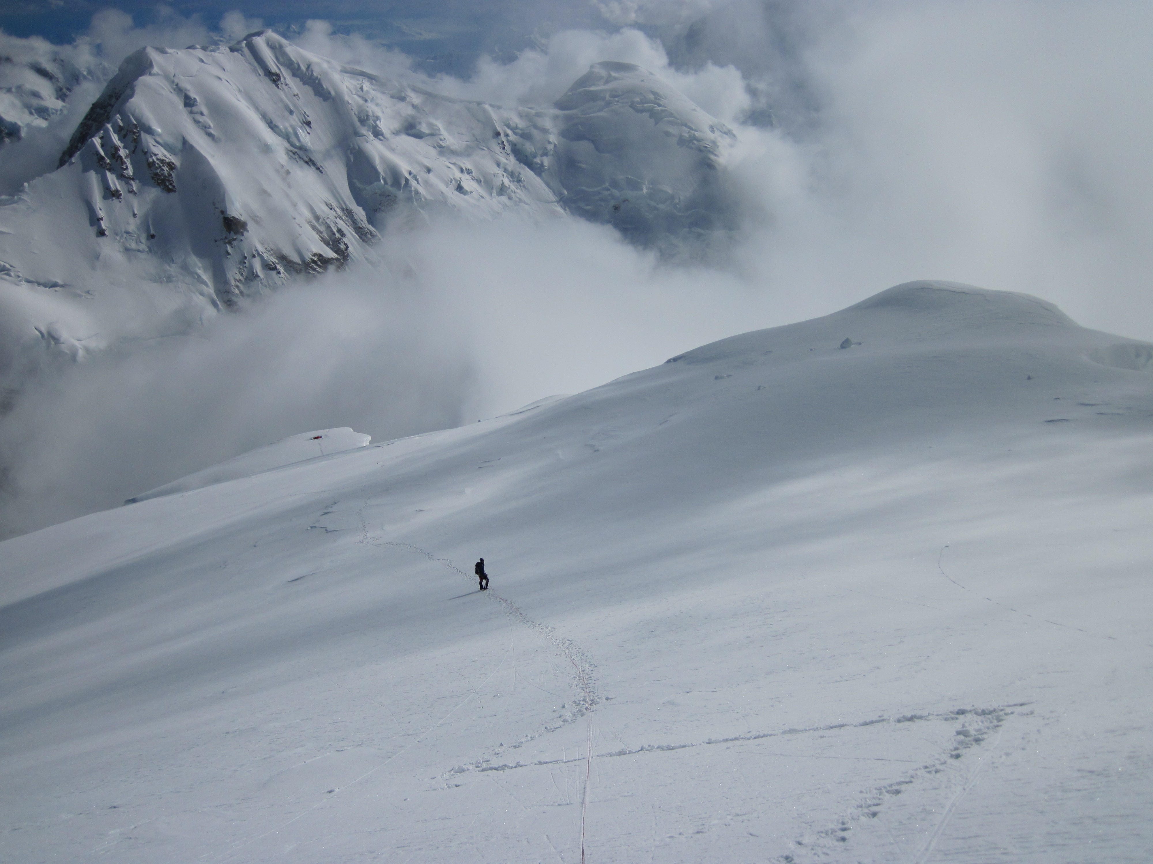 |
| Headed back down to our little camp on the edge of the void. |
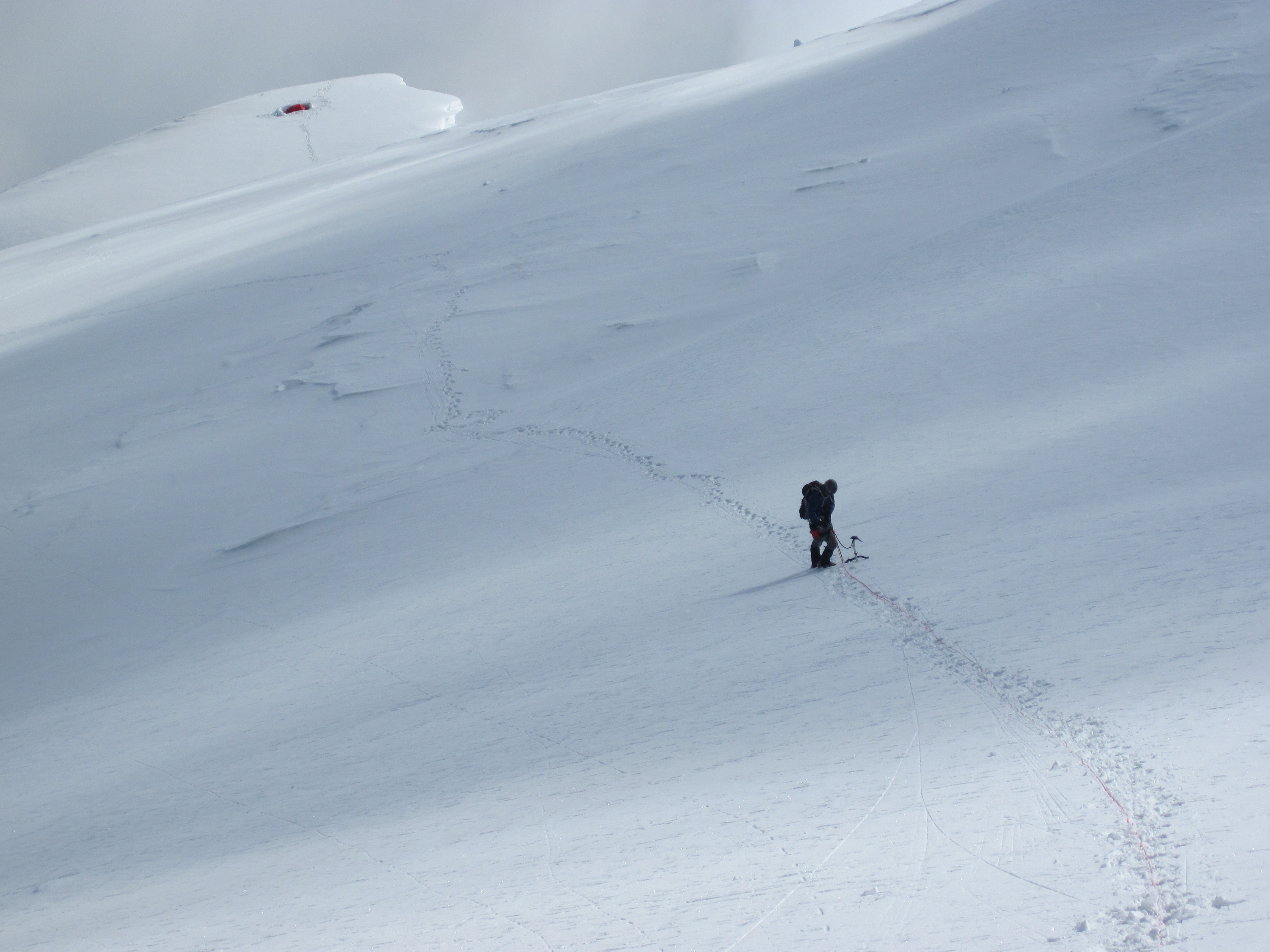 |
| There were some pretty gnarly cornices not too far from our camp. |
Day 13 - Storm Day
When we woke up on day 13 there was about 6" of fresh snow on the ground and it was still coming down hard. Visibility was basically non-existent, but we decided to pack up and see about making a go of it anyway. Well as we packed up another 6-12" fell, at which point we decided to make a trial push up the first slope without packs. Well as often happens with over a foot of fresh snow the avalanche conditions were pretty bad, so we decided to stick it out in the tent for the rest of the day. As soon as we had unroped and set out our sleeping pads back in the tent the weather cleared up and it started to get hot. At one point it got up to 96F in the tent...
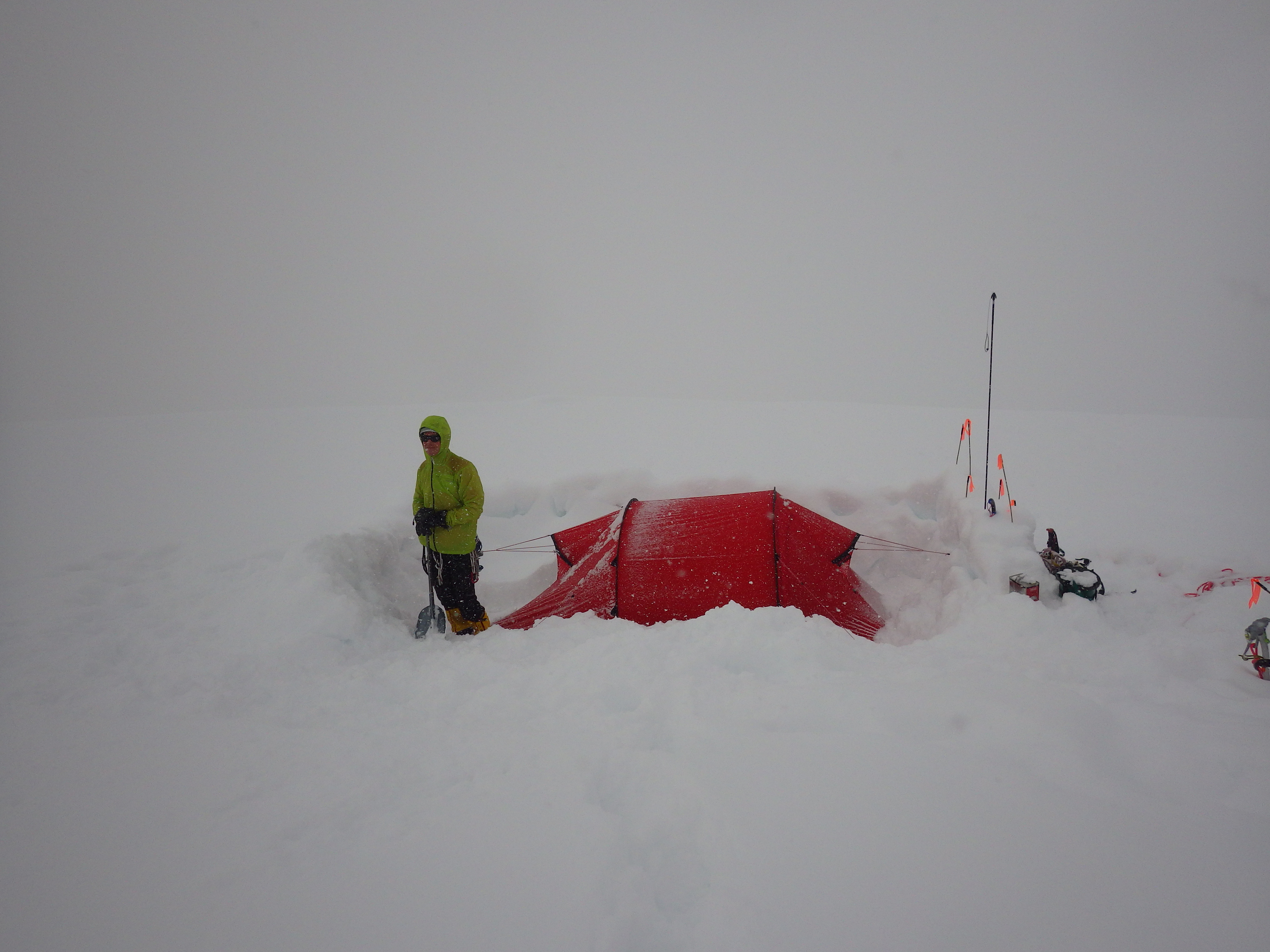 |
| The weather was kinda nasty... |
Day 14 - Camp 3 (13,400') to Camp 4 (16,000')
The second schrund crossing was probably the sketchiest. I was on point and carefully swam up the snow bridge. However, the bridge came to an end about 6" from the next slope, which rather than being a mellow 60-degrees, was dead vertical sugar snow. I ended up having to dig through about a foot of snow and pile it up under my feet on the bridge before I could get up high enough to sort of jump into firmer snow. Immediately above the bergschrund was steep snow comprised of several firm slabs seperated by very weak layers. I yelled, and cursed the mountain with some colorful language and pushed up about 30' above the bridge and dug a hole down to firmer snow that might hold a picket. I belayed Peter up and let him take the next crossing, which also turned out to be pretty sketchy.
We ended up reaching 16,000' around midnight. Both of us were suffering from extremely cold hands. My outer gloves were completely frozen solid, and I ended up sort of dragging Peter up the final 300' or so as by that point his hands were too cold to place pro. Climbing at that elevation for the first time was really really hard. I would basically quickly push 20-30' and then have to stop and catch my breath. Even just standing required enough oxygen that I was breathing as hard as if I had just run a mile.
 |
| Our target is the ridge at the top of the rib. We took the gully that was dead in the middle of the rib. |
 |
| Peter leading up over the third bergschrund crossing. |
 |
| Looking down at the 14,200' camp on the West Buttress. Those things that look like rocks are tents. |
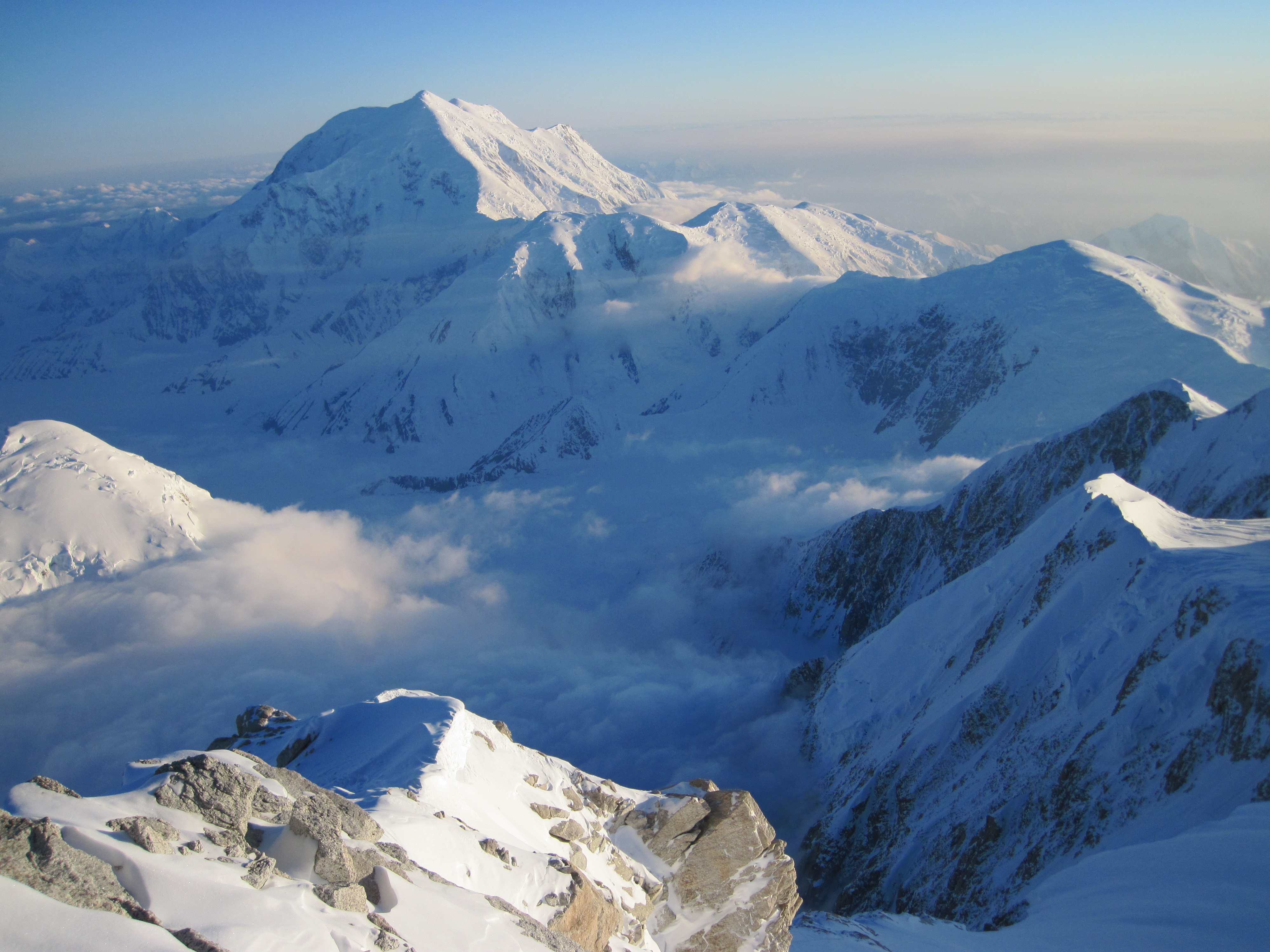 |
| Mt Foraker |
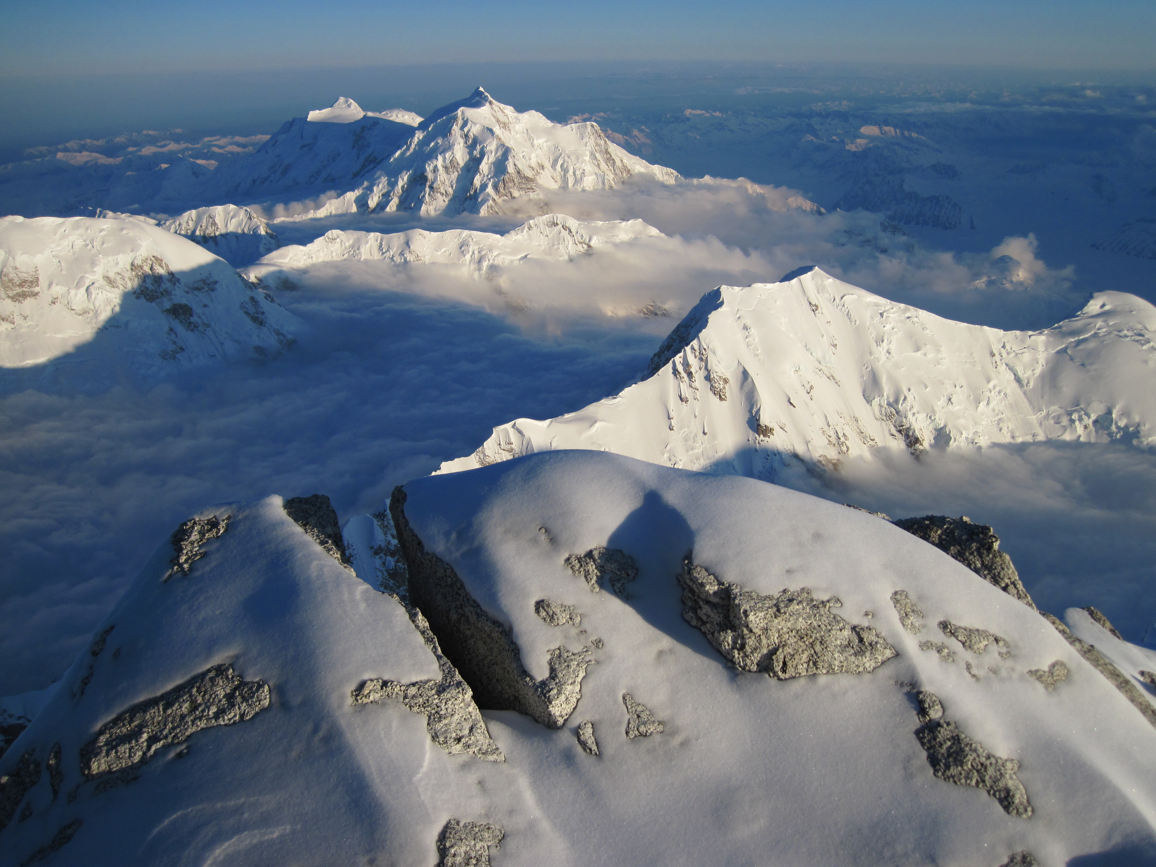 |
| Mt Hunter. |
Day 15 - Camp 4 (16,000') to Camp 5 (15,700') and retrieve cache from 14,900'
First when we woke up we had our first human contact in 12 days. There were two guys coming up for an acclimatization climb up the Rib. We chatted with them for a few minutes and then started packing up camp.Unfortunately the weather forecast called for basically a week of storms moving in. At this point we decided that the smart choice would be to head down to 14,200' camp on the West Buttress to wait it out. At this point I was basically shot. I hadn't slept well the previous night due to the altitude, cold, and dehydration. I just wanted to go down to 14 camp to sleep, eat, and enjoy the company and safety of other human beings. I really, really didn't want to go back down the rib to get our cache, but we had to, with weather moving in this would be our last chance to go back for the cache. Peter managed to convince me to suck it up, and once I got some food and water in me I started to feel a lot better. I wasn't looking forward to going back for the cache, but at least I was willing to do it. We set up the tent at 15,700' so we would have a place to drop our gear and be able to just crash after coming back with the cache. We then headed back down the West Rib to get our cache.
Days 16-19 - Camp 5 (15,700') to Camp 6 (14,200') and Storms
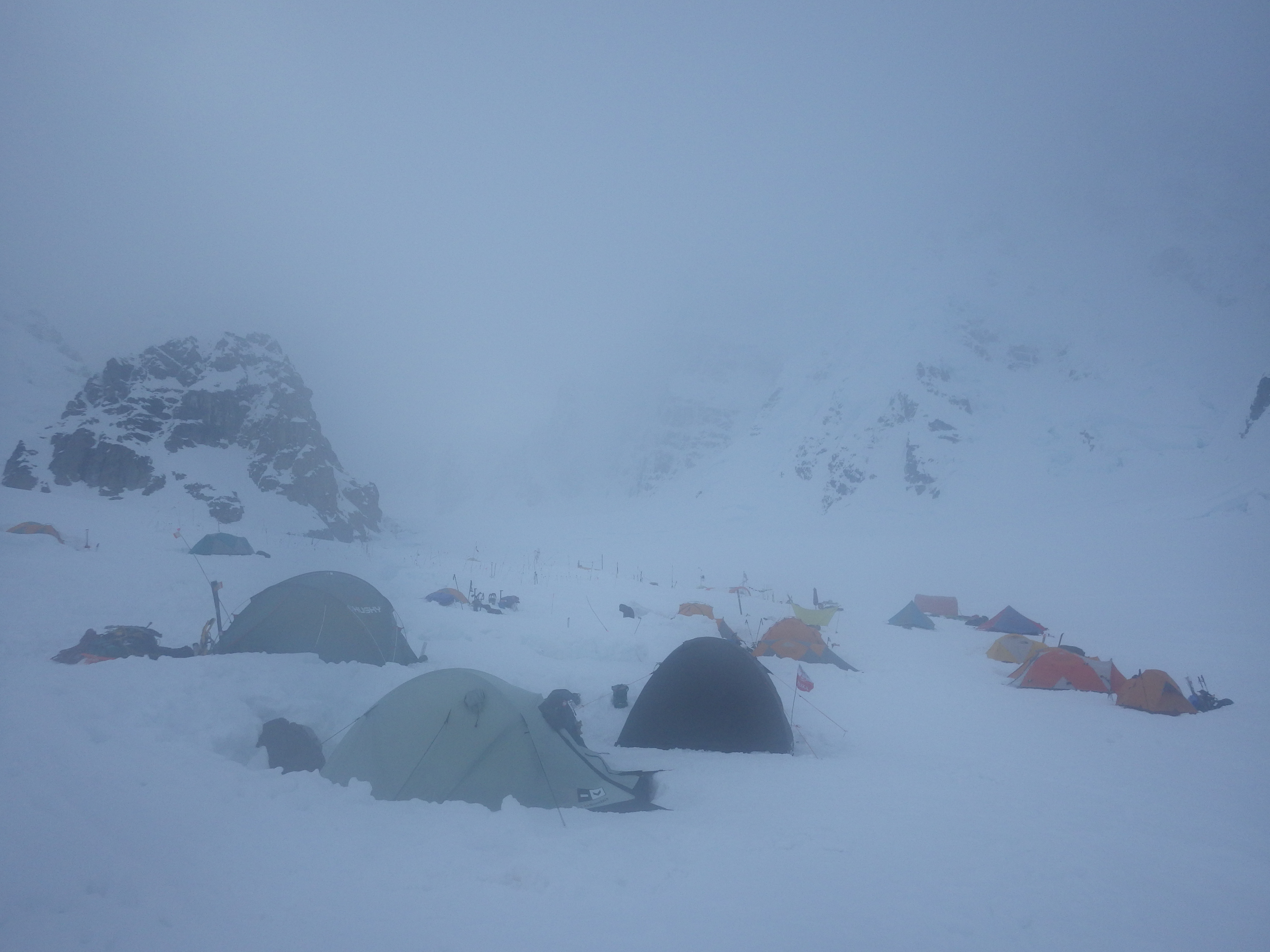
I don't think I've ever felt so relieved in my life as I did when we rolled into 14 camp on the Buttress. The sketchy climbing was over! There were other people, rangers, a medical tent, more food variety!!!!!! I was so excited! We took over a nice campsite that a couple of guides were moving out of and proceeded to spend the next few bad weather days socializing and just hanging out. We met Steve House, and watched Killian Journet doing ski jumps in the middle of camp. It was pretty damn sweet.
Day 20 - West Buttress Summit Attempt from 14,200'
We woke up around 6:00 am on Thursday June, 12 to cold temperatures and a small lenticular cloud over the summit. Conditions were cold, but they looked promising and we decided to go for it. Our friend, Eric Munsing who we had met at ski hill camp decided to join us and if nothing else, retrieve his cache at 17k camp. Since we knew the climbing would be relatively easy up to 17 camp we decided to go unroped.
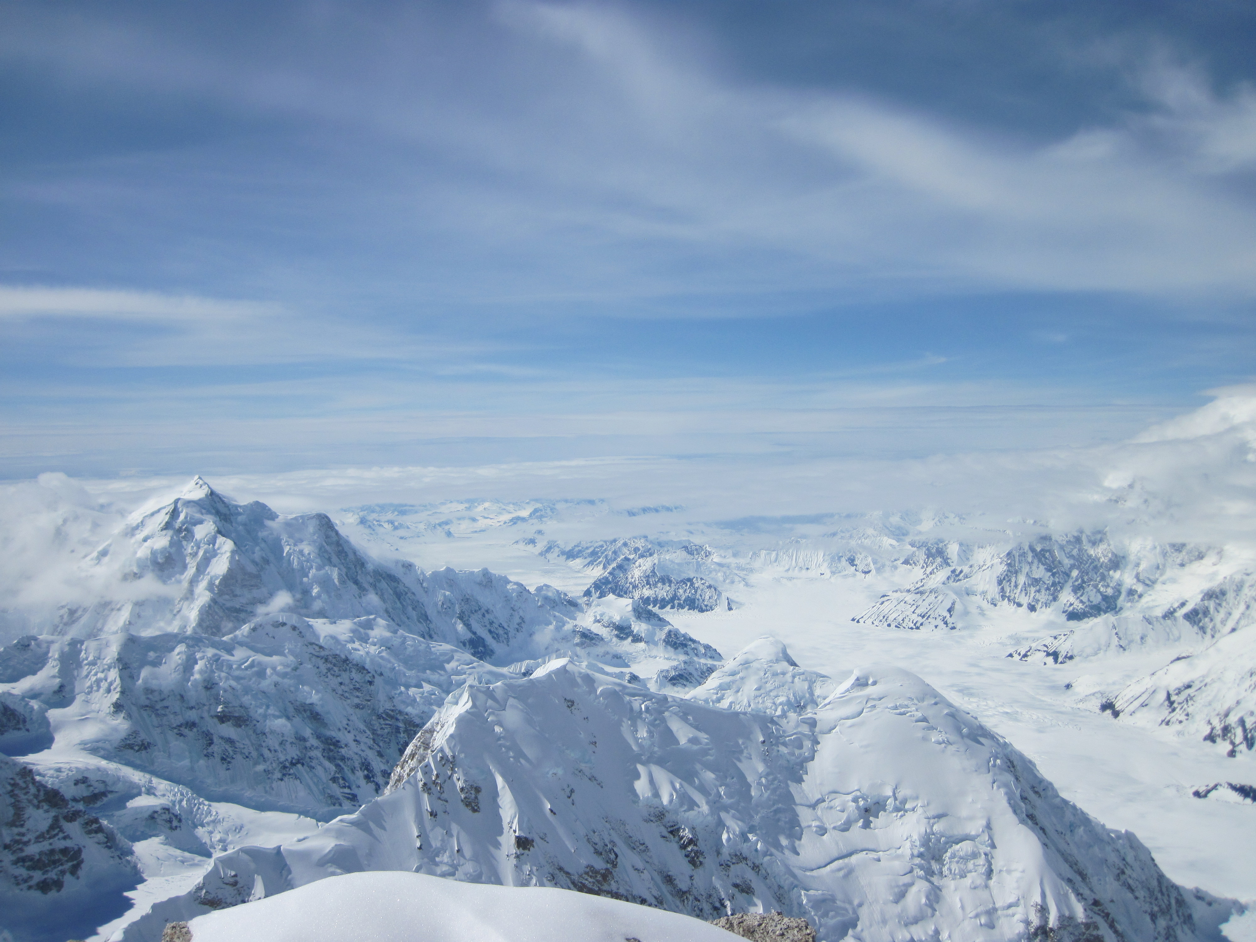
We made good time up the fixed lines, with only one small party of 2 ahead of us the climbing was quick and easy. At the top of the fixed lines Eric and I hung out while waiting for Peter. Once Peter caught up we set off on the ridge connecting the top of the headwall and 17k camp. I managed to snap some pretty spectacular pictures.
 | |
|
Unfortunately as we climbed higher the visibility and winds steadily worsened. We decided upon reaching 17 camp to turn around and head back down, pack up camp, and start making our descent. That day we made it down to 11,200' before heavy snow and low viz forced us to stop and camp for the night.
Day 21 - 11,200' camp to Airstrip.
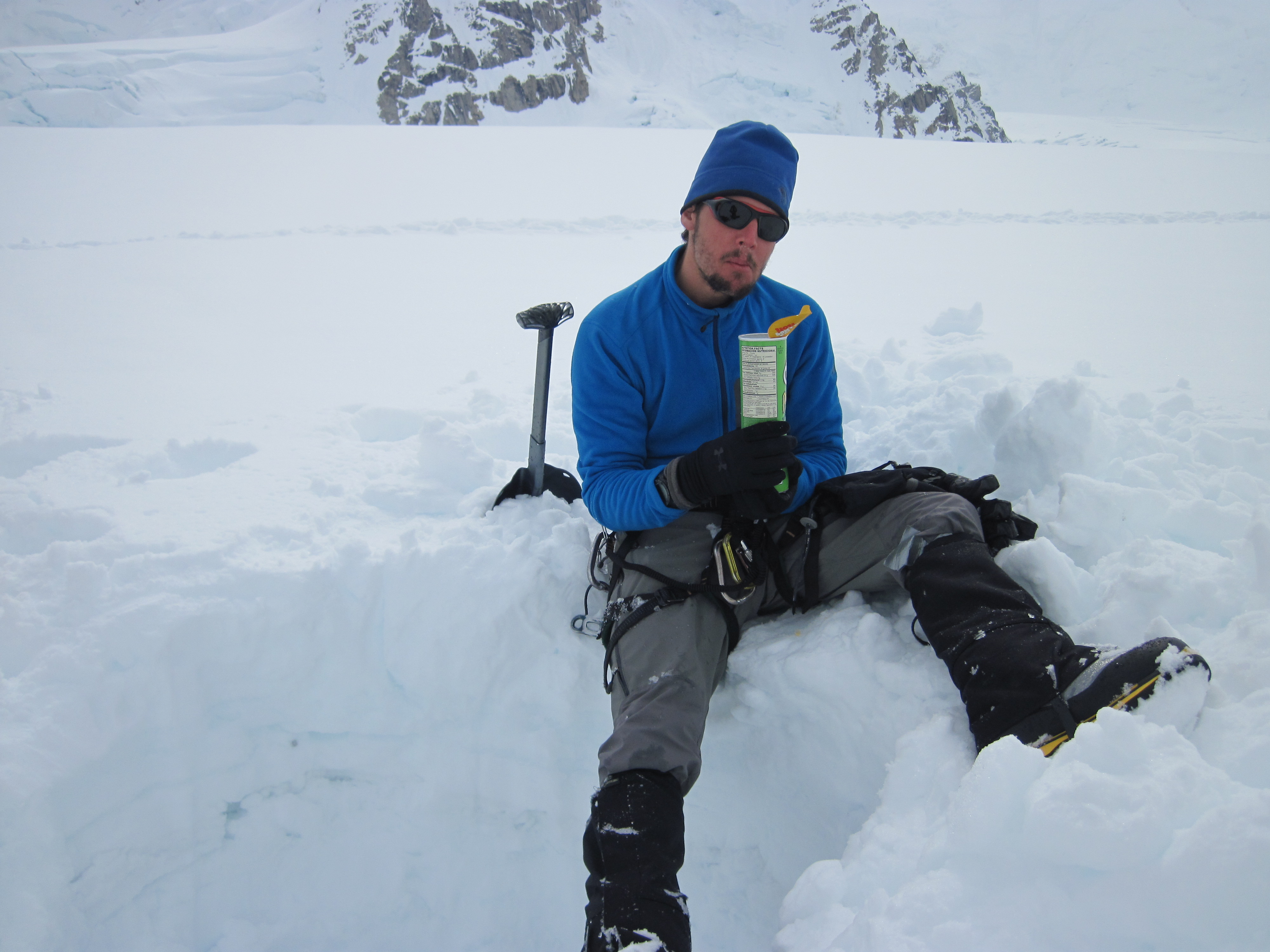
We woke on day 21, packed up our camp and pushed quickly down to ski hill. I had two cans of pringles cached there and I also wanted to catch a plane out before the weather became too bad for flights out. We hit ski hill camp, dug out our cache and immediately tore into the pringles!
Unfortunately we did not make it to the airstrip before the weather worsened and we had to spend the night.
I woke up around 5am on Saturday, June 14th and looked outside to find clear blue skies. It felt like Christmas, we were going back to civilization!!!! Hot meals, warm beds, SHOWERS!!!! However, as I sat there and waited for 8am to roll around, and the basecamp manager to wake up, the weather progressively worsened. I kept getting more and more anxious, and became worried that we wouldn't be able to get off the glacier in time to catch our flights home. Fortunately the weather held just long enough for planes to get in and soon we were jumping for joy as Sheldon Air Servicie's little yellow beaver landed.
Upon arriving back in Talkeetna we proceeded to gorge ourselves with breakfast at the Roadhouse and take much needed showers.
Conclusion
Well as far as my first major expedition went I would say this was reasonably successful. Both Peter and I were disappointed that we didn't make the summit, but at least we managed to get on the West Rib and have an epic 12 days all to ourselves. The overall summit success rate of 36% for this year makes us feel a bit better about not reaching the top.
I am a little disappointed in my own attitude once we were down to 14 camp on the buttress. With the combination of the forecast, boredom, and exhaustion, I just wanted to get down and go fly-fishing in Talkeetna. I'm glad Peter made me stick it out and we at least made an attempt at the summit. There are so many lessons that I learned on this trip that I think I can apply to my next trip to have a more enjoyable experience.
1. Double carries suck balls.
2. Bring a very large variety in candy-bars.
3. Make sure that you have the appropriate video codecs on your phone before leaving civilization....
4. Bring lots of comedic TV shows and audiobooks. Laughter can make bad situations so much more pleasant.
5. Bring a repair kit for crampons and ice axe....
6. Tag-lines don't work well on low-angle ice.
7. I need to get more comfortable down-climbing ice and snow.
8. Make sure to have a shit-ton of variety in your food.
Food Checklist (My half of the food)
If you have any questions feel free to ask in the comments.


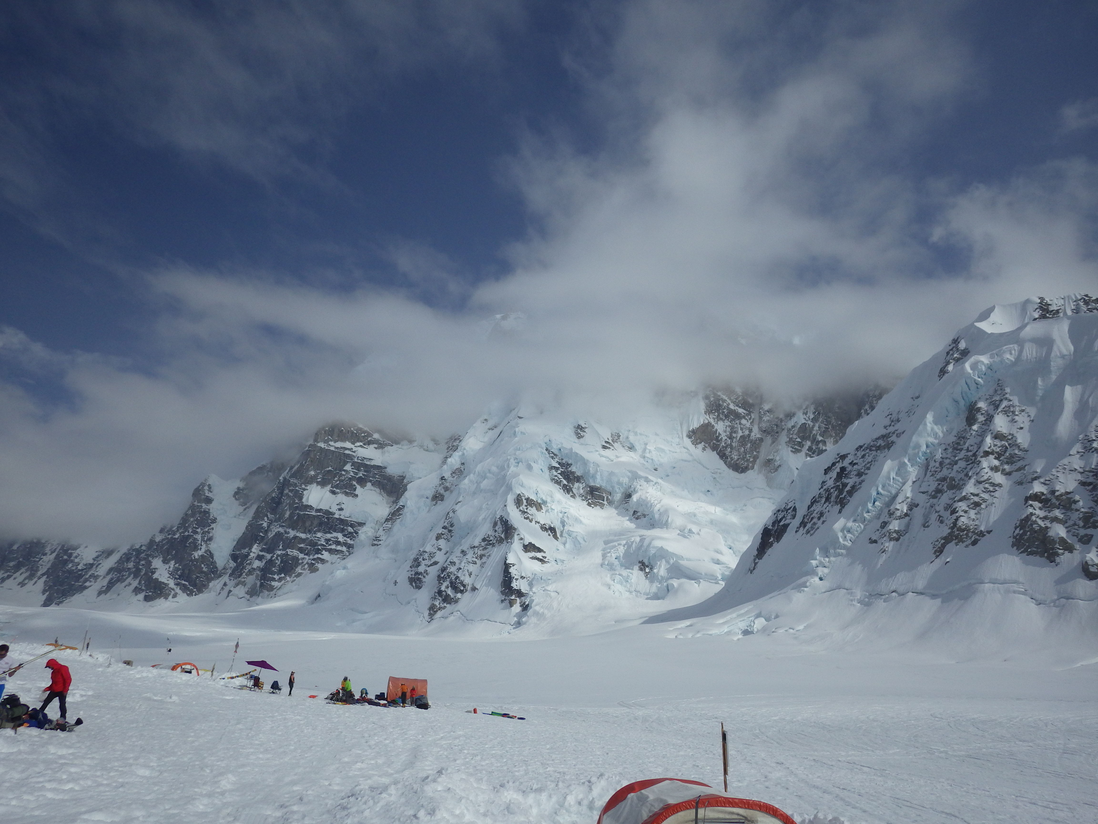
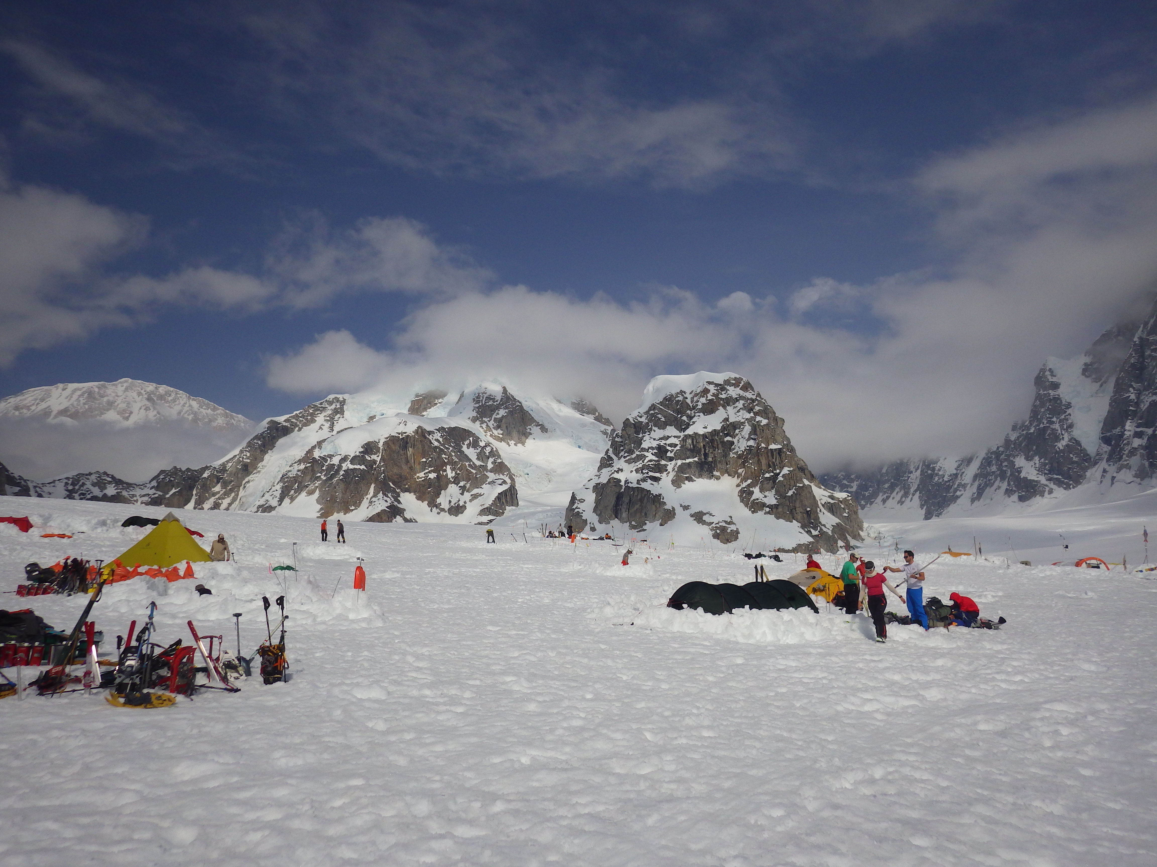
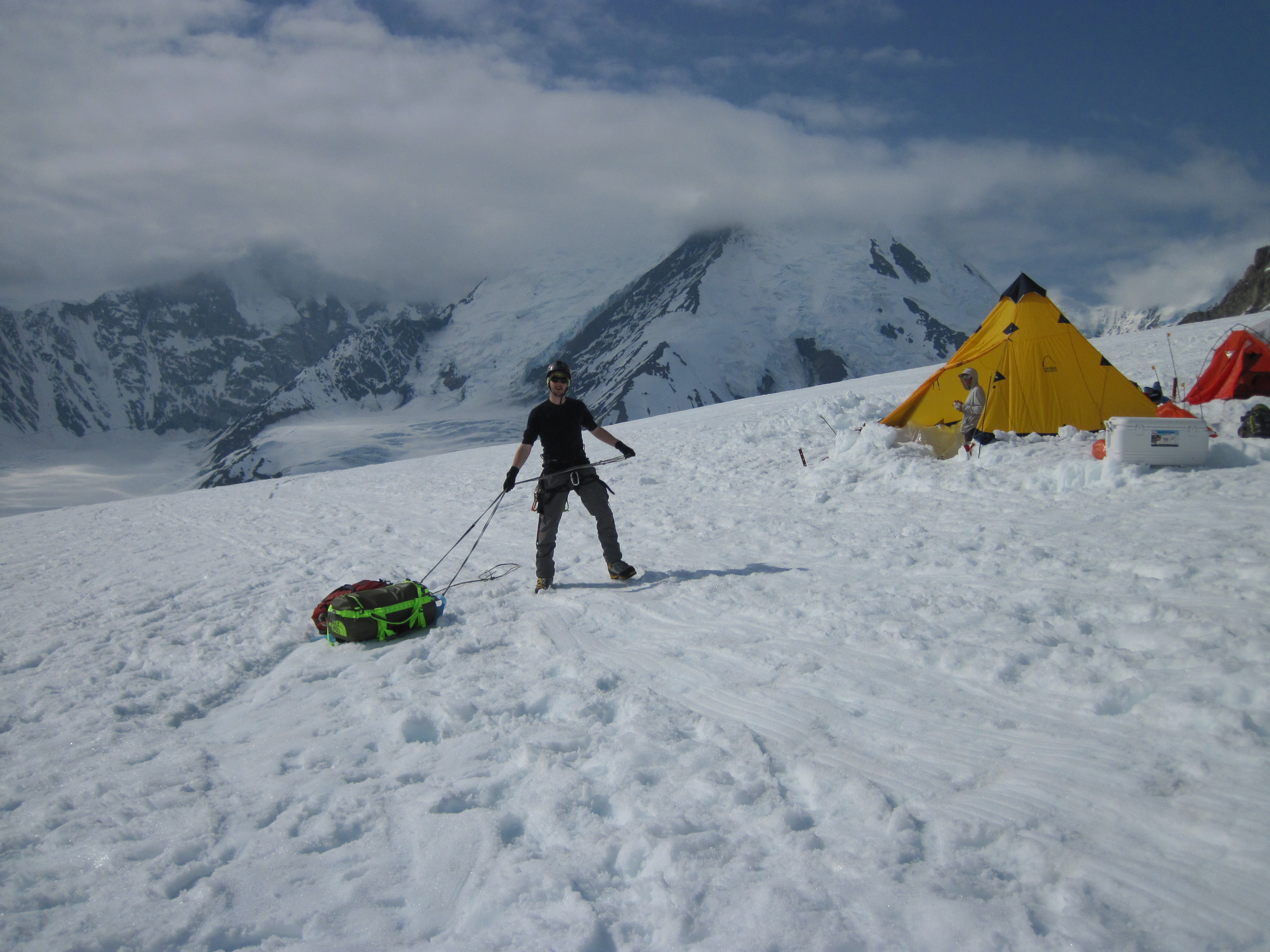
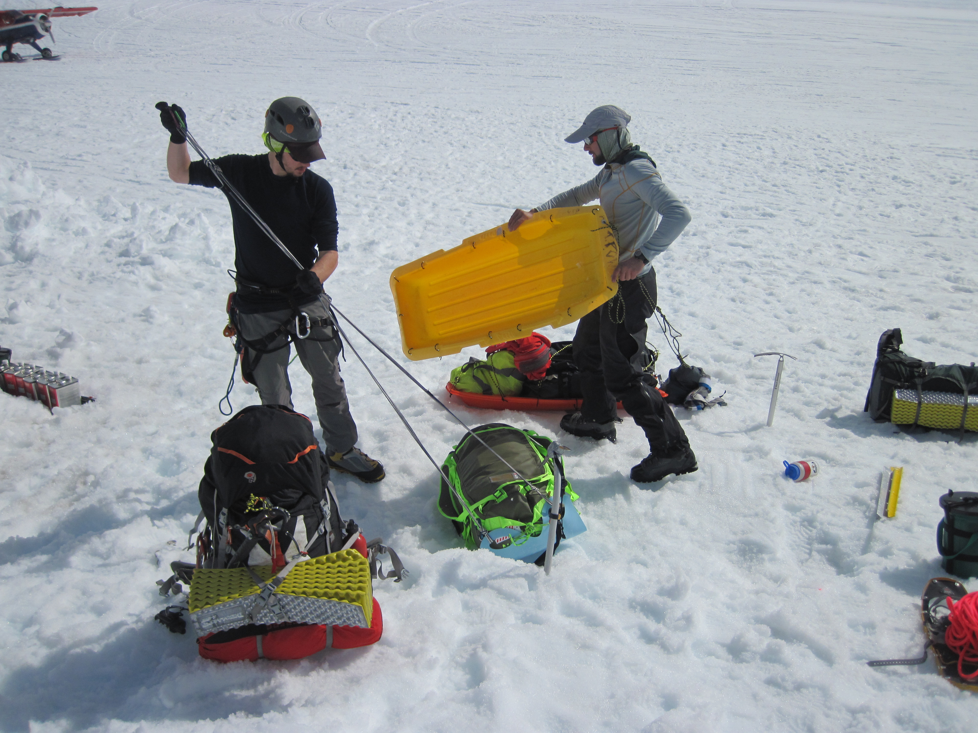












I saw your presentation at the LA Mountaineers meeting yesterday and let me first say, your pictures were absolutely beautiful and inspiring...but your story not so much. I left there with big questions about some of your decision making processes during the Denali trip and after reading your other blog posts here, it seems these questionable decisions are actually quite common for you. So if you'll indulge me, I have several questions for you...
ReplyDelete1. Have you ever taken any sort of avy training/class? On multiple occasions last night you mentioned how you saw and heard all the warning signs but continued on. Why? Why did you think you knew better than the guides that were sitting in the safe zone? (I realize that guides probably err on the side of caution since they are responsible for paying clients, so I'm just wondering what your reasoning in going on was.) I noticed a lack of an avy beacon on your gear list but you brought a probe and shovel (I get the shovel has dual/multiple purposes). Also, during the presentation, when you spoke of trying to keep up with Peter and your pants were falling down, it came across as you two were quite close, so that if an avalanche had occurred, you both would have been swept away...maybe this was not the case.
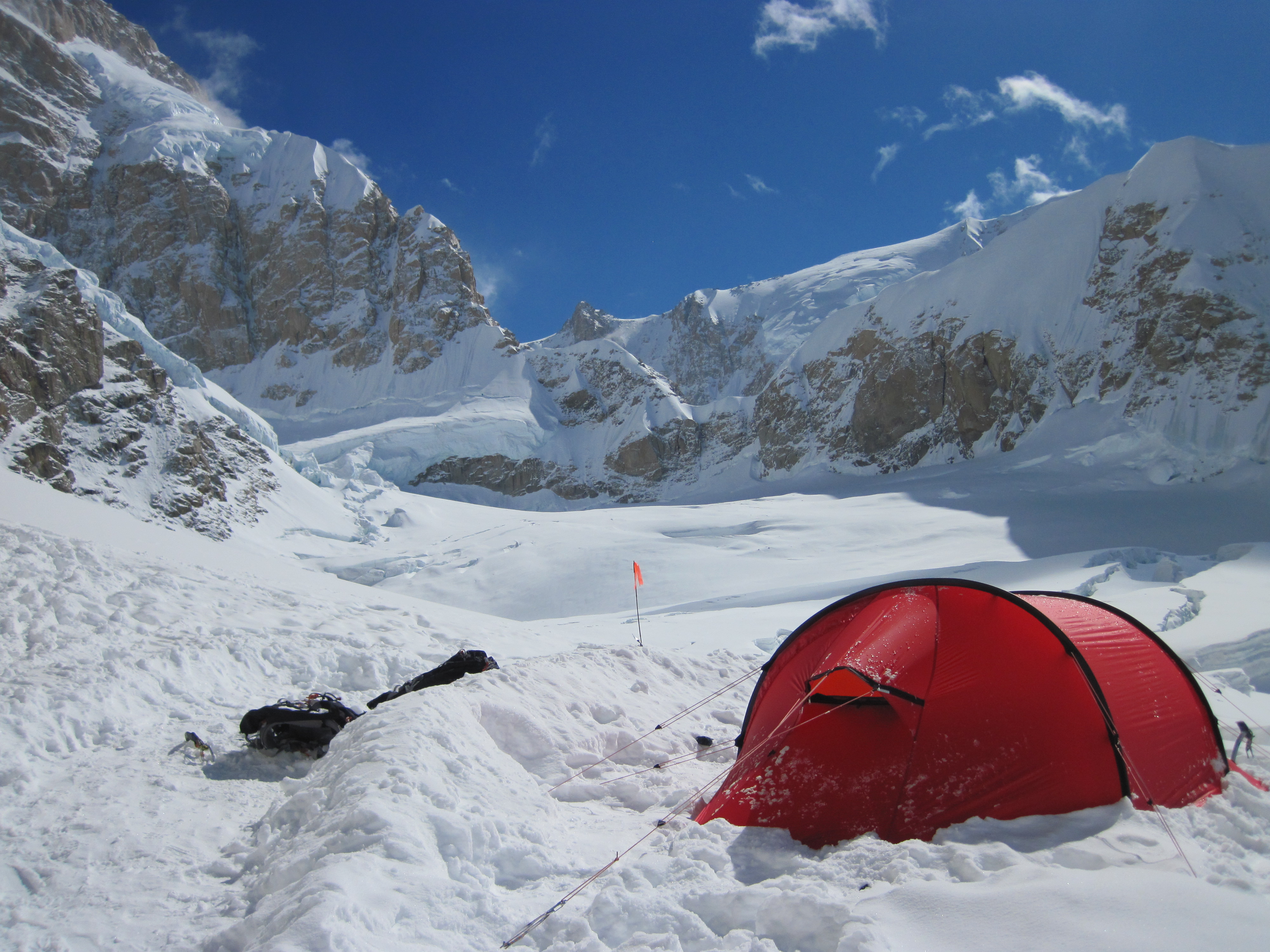
2. The picture of your camp on the edge of the abyss is pretty gnarly but if you knew there was such a massive cornice mere meters from the tent, why in the world would you set up camp there?
Not the Denali trip but from other posts on this blog:
3. In regards to Kit Carson's Prow...what did you think SAR would be able to do for you in the middle of a thunderstorm while you were perched almost 14,000ft up? Were you expecting a hell extraction? I only really question this because you come across as very indignant about their response. Dude, you are in the mountains and no one had been injured or worse at that point...yeah, you guys are alone and it is up to you to get your butts off the mountain. I realize the mountain weather Gods are not always good to you. I, myself, was caught in a electrical storm while descending Broken Hand Pass and this past summer had a close call while traversing Columbia to Harvard (good forecast for the day and no clouds when I dropped down on the East side and couldn't see weather moving in until I headed up the gully to regain the ridge) but never did I think, I should call someone to come save me. When you play in the mountains you accept the risk that follows.
4. You're questionable "glissade" of Little Bear. Again, I point this out because I think it shows proclivity of poor decisions on your part. I didn't notice an ice axe or means of self arrest in the video.
I realize you don't know me from Eve and don't have to justify your actions to me but I figured since you spoke at the meeting last night and welcomed questions here on your blog, that I would ask them. I think what bothered me the most yesterday, was the fact that you seem to take pride in these instances and it doesn't really seem like you learn from your mistakes. I believe that pushing boundaries is a good thing and I have been known to push them myself but I also want to be around to keep pushing them.
Malinda
Hi Malinda, I guess I can understand how you came to that conclusion from only those few stories, although with the stuff on Denali I can tell that you don't quite have the knowledge of or experience with big range mountaineering to understand the decisions that were made there. I'll start with the bottom and work my way up.
ReplyDelete4. The "glissade" on Little Bear was less of a "glissade" and more of a "my cheap microspikes disintegrated so I now have to scoot down this gully on my butt" At one point the "scoot" turned into a larger slide and faster slide than I was expecting. An ice-axe would have been mostly useless as the stuff underneath was largely ice and loose gravel. Only one person in our party of 4 (6 if you include the random people who joined us) had an axe. When we set out to do that climb we did not know that there would be that much snow and ice up on the mountain. I didn't even own an ice-axe at the time.
3. You can't really compare being caught in an electrical storm on class 3-4 terrain to extremely exposed and 100% committed 5th class, technical terrain. I have gotten caught by a couple of early hail / thunderstorms on that kind of stuff, one even at Broken hand, it really just does not compare. I was originally in the process of giving my dad and several other people exact details on our location and that they should call SAR if they didn't hear back from us in 6 hours. That was the point when the gear in our anchor started arching and our strongest climber dove on top of me and started screaming and crying. We contacted the local county sheriff to A) Let them know that we were in a pretty shitty situation, and exactly where we were in case someone was hurt or they had to find our bodies. B) Ask if there was anything they could do to help (answer was a no as we expected, but my buddies wanted me to ask). C) Ask if there was anything that we could do to help ourselves that we might not have thought of already. It was the response to the last answer that we were a little miffed about. It was sort of cruelly ironic, if staying away from tall trees was the worst of our problems the conversation would never have happened. I was more pissed at the sense of cruel irony than the lack of any sort of aid or advice. If our gear had not been arching and our hair not standing on end from the static electricity in the air, we never would have called. I don't regret making that phone call, and letting someone know exactly where we were in the event that one of us did get hurt and we were unable to communicate again. It was a distinct possibility with the lightning, the wind, and the several hundred feet of wet 5th class terrain we had to climb. If someone had gotten hurt we would have either had to leave them or wait till someone came along with enough rope that we could lower them off. The Prow is an extremely committing climb, and there is not enough protection to bail from half way up unless you have something like 2x 80-100m ropes. Even then, rappelling would have been very difficult and dangerous due the fact that the entire thing is a big, narrow arete.
Honestly the biggest mistake that I made that day was not realizing that I was the only one with a watch. There was a point, just before we started the first pitch, at which my gut was telling me that it was too late and that we should bail. I assumed that my partners knew how late it was and still thought that we had enough time, so I said nothing...
2. We made certain before setting up at that site that we were well off the cornices. We also probed the site extensively looking for crevasses or cracks that would indicate a bad site. The route beta that we had described the cornices and recommended this as a good spot to set up camp. I probably played that up a little too much in the presentation.
ReplyDelete1. I have not taken an avy 1 class. I have gone through a lot of online material and done a lot of research, as well as analyzed snow layers with more experienced people. On the stuff we were climbing on there weren't a whole lot of warning signs, most of it was too steep for anything big to form up, hence all of the spindrift slides. The slides that we were most worried about were the ones coming down from the valley walls. From all of our pre-trip research we felt like we experienced a normal level of avy activity for the NE fork. We still are not entirely sure why that guided group turned around, it seems like maybe the clients did not feel comfortable or that the guides didn't think they could move quickly enough. We actually followed in the tracks of a Japanese team that was several hours ahead of us through the icefall. They were targeting Cassin Ridge but we never ran into them. We pushed on right then instead of waiting for the remote chance of better conditions because we knew that with an established, wanded, track, we could move much more quickly than if we waited and then had to scout our own path.
You don't bring avy beacons on glaciers, there is no point. Peter and I were roped up 100% of the time that we were more than 20' away from our tent. If one of us were to get buried all the other would have to do is follow the rope. More likely than not we would have both just been buried in which also renders the beacon useless. You have to stay about 100-150' from your partner due to the need to stay roped on the glacier. We brought a single shovel, and a single probe. The shovel was for building camp and the probe was so that we could probe camp sites for crevasses. There was very little point in bringing additional, useless avy gear that would do nothing but slow us down and expose us to the objective hazards for a longer period of time.
I have made a number of poor and questionable decisions in the mountains, most of them have involved following the advice of other climbers who I wrongly assumed had more info than I did..., but I feel pretty confident that I have learned from most of these and not repeated them. I have turned around on more mountains and climbs than I can remember. I know and understand that I am relatively inexperienced and that I have a lot to learn in the mountains, and this is why I try to surround myself with people that have far more experience than I do.
Aside from that, there are climbs that have objective hazards, there are always risks involved. There are some climbs that you cannot do without accepting a certain level of risk. There is a point at which further risk mitigation becomes more detrimental than beneficial, however this point can vary dramatically depending on the climb, conditions, and people involved.